Forecast source
The choice applies to widgets, maps and forecasts. Actual station readings stay unchanged. Automatic tries Open-Meteo first, then available direct sources if a supported request fails.
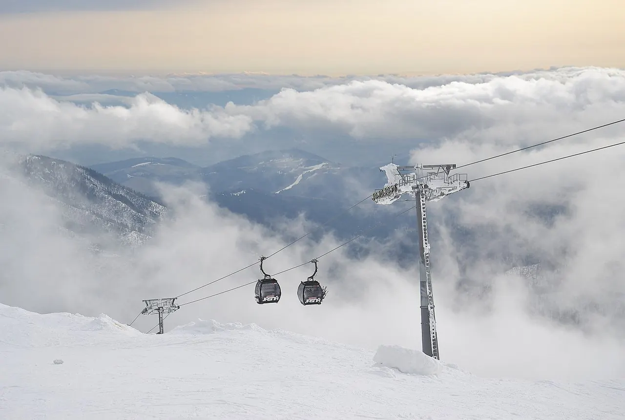
The Low Tatras offer a Central European alternative to the Alps. Jasná is the starting point for skiers looking for terrain on both sides of Chopok.
More remarkable mountains, from familiar favourites to unexpected places.
 The shortlist
Skiing on both sides of Chopok, in Slovakia's Low Tatras.
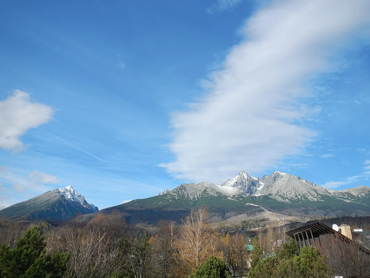
A High Tatras mountain base beneath Lomnický štít.
 The shortlist
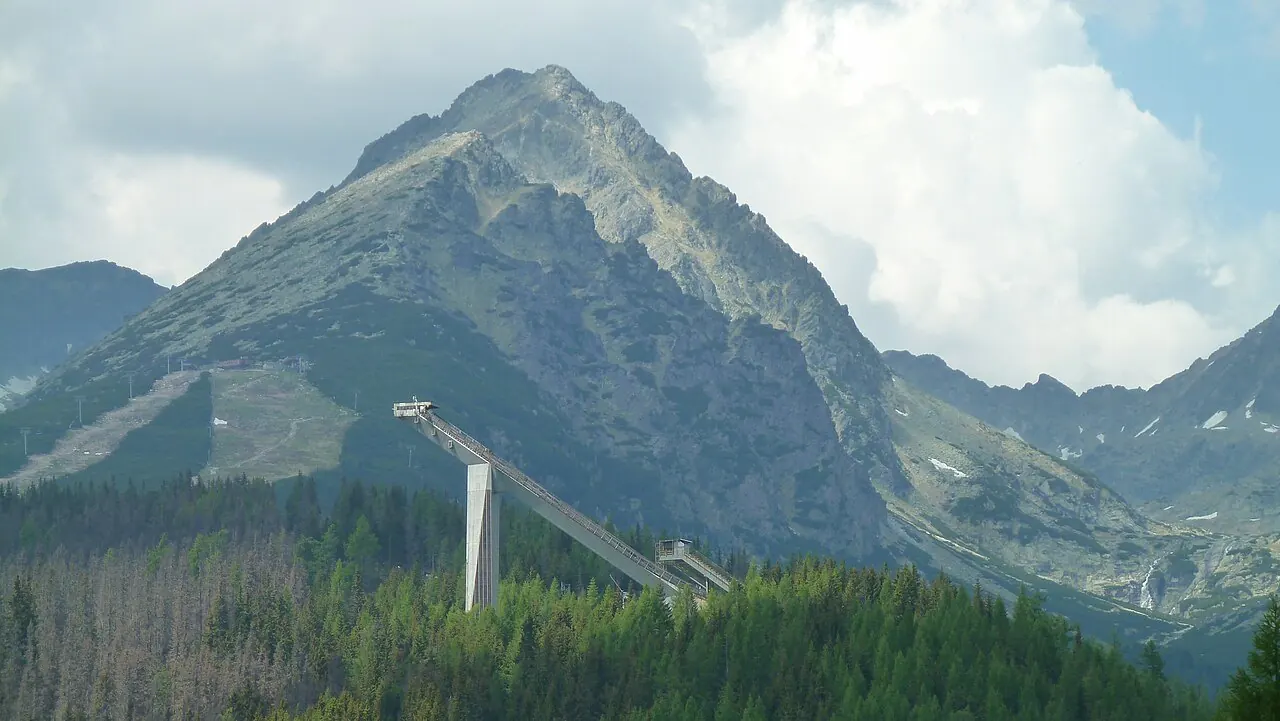
A lakeside High Tatras destination with skiing above the village.
Try another name or clear a filter to explore more places.
The choice applies to widgets, maps and forecasts. Actual station readings stay unchanged. Automatic tries Open-Meteo first, then available direct sources if a supported request fails.
Data service providing forecasts from NOAA, ECMWF, ECCC, DWD, the Met Office, Météo-France and JMA. Available models, variables and grids depend on the location and product.
XIONIA collects data directly from the model providers. Forecasts and maps are served after the source cycle has been published and collected. The selected product shows its model, resolution, available variables and run.
Each available family contributes once per variable. Direct forecasts select the freshest available GFS grid and use equal family weights as the baseline. Local weights apply only where enabled after validation. The comparison shows actual percentages and model cycles.
Additional model forecasts are also shown for comparison and backtesting. Their presence does not automatically add weight to the combined forecast; check the displayed weights.
A dash means unavailable data. Wind and gust may use different models. AIGFS temperature is excluded when it cannot be compared on the same elevation basis. Six-hour precipitation is water equivalent, not snow depth.
A “Today” label with hours in parentheses covers only the stated time window; subsequent days require full local coverage. Days 8–14 are a less certain outlook. Agreement between models is not a probability from a true ensemble.
Ensemble systems provide multiple forecast scenarios; the available systems appear in the chart selector and image catalogue. AIGFS is the single forecast; AIGEFS is the separate ensemble. Available variables and forecast horizons differ by system.
Open-Meteo · NOAA · ECMWF Open Data · ECCC Open Data · DWD / ICON · Met Office / UKMO · Météo-France / ARPEGE · JMA
Published ticket prices for 3 ski resorts: 3 with adult day rates, of which 3 are included in the comparison before season and currency filters. Compare ski pass prices and piste kilometres in the table. Each resort page includes available child tickets, multi-day passes, season passes and low/high-season rates.
Local pistes, linked areas and regional ski passes in separate columns. Select a column heading to sort numerically. Unknown values appear last.
| Destination | ||||
|---|---|---|---|---|
 JasnáLow Tatras · Slovakia | 50 kmJasná | — | — | 71 EUR2025/26 · Jasná · Coverage as stated by sourceSource: IntskiPrevious-season price · 2025/26 |
| Tatranská LomnicaHigh Tatras · Slovakia | 12 kmTatranská LomnicaHistorical figures 2025/26 | — | — | 58 EURSeason not stated · Tatranská LomnicaSource: Skiresort.com |
| Štrbské PlesoHigh Tatras · Slovakia | 9 kmŠtrbské PlesoHistorical figures 2025/26 | — | — | 58 EURSeason not stated · Štrbské PlesoSource: Skiresort.com |
— = not yet verified. ≈ = approximate, as stated by the source. A + preserves the operator’s “over” figure. The same network can appear for several destinations; rows must not be added together. Totals including ski routes are labelled.
When choosing a ski destination, compare the area you will actually use. Local kilometres describe a particular ski area, linked kilometres cover the wider network, and a regional ski pass covers separate areas under a shared ticket.
Verified examples in this table include: Jasná (50 km).
A verified piste length (km) is available for 3 of 3 destinations in this table. Missing values are not filled with estimates. Sources and measurement differences are explained on resort pages.
Choose your base using access to the pistes and the forecast at the relevant altitude. A nearby village or mountain pass on the map does not imply a piste link or a road open in winter.