XIONIA · PASS ATLAS
Mountain road passes in the Alps, Greece and beyond
Discover road passes in the French, Swiss, Italian and Austrian Alps, the Dolomites and Slovenia’s Julian Alps. Explore the Pyrenees of France, Spain and Andorra, the Pindus range, Parnassos and Helmos in Greece, and selected routes through the Carpathians, Scandinavia, the Rocky Mountains and the Andes. Find elevations, weather forecasts, seasonal access, nearby villages and road status information where a source is available.
Temperatures load when the map comes into view.
Forecast low / high temperatures for the selected day, not live station observations. The coloured edge and dot show current road status: green open, red closed, orange restrictions, grey unconfirmed. Higher passes take priority when labels overlap; zoom in to see more. Future forecast dates do not predict future road openings.
Use the mouse wheel to zoom in and out. Drag to move the map.
● Green: confirmed open · Red: closed · Amber: restrictions · Grey: no recent confirmation
Plan your road route through mountain passes
Add passes from the list or points on the map in the order you want to visit them. Choose a start, destination and up to three intermediate stops. The route follows the road network when you select the calculate button.
Choose at least two points, up to five in total.
Road routing does not account for all seasonal restrictions or current conditions. Pass status colours remain separate from the route line. Google Maps may suggest a different route.
Routing: OSRM / FOSSGIS · © OpenStreetMap contributors · Fix the map. Selected points are sent to the routing service only when you request a calculation.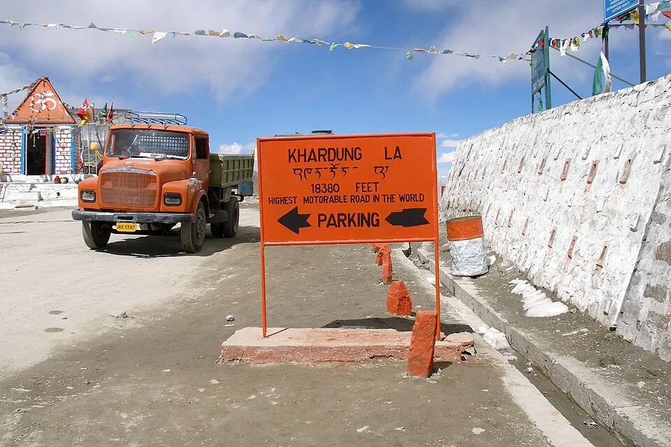
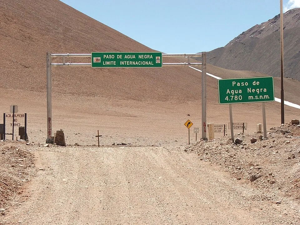
Argentina
Agua Negra Pass
4730 m
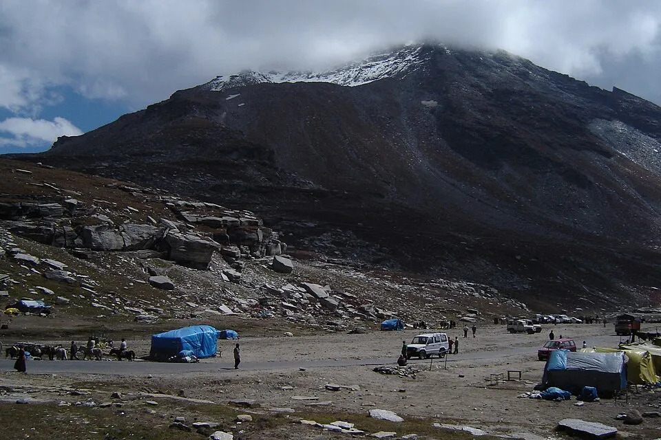
UnconfirmedA very high Andes border crossing between Argentina's San Juan province and Chile's Coquimbo region. Confirm border opening and road surface before committing to this remote route.
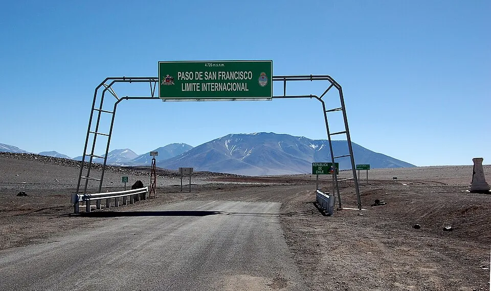
Argentina
San Francisco Pass
4726 m
UnconfirmedA high Andes road crossing between Catamarca in Argentina and the Atacama region of Chile, through an exposed volcanic landscape.
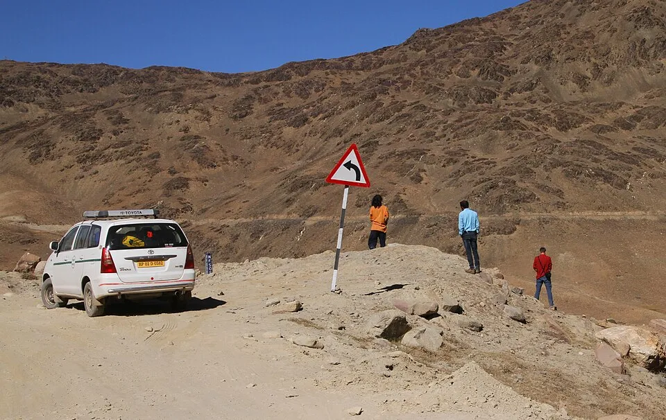

United States
Independence Pass
3685 m
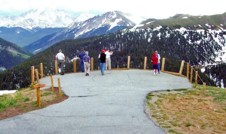
UnconfirmedColorado Highway 82 climbs between Aspen and Twin Lakes, reaching the Continental Divide above the tree line.
United States
Loveland Pass
3655 m
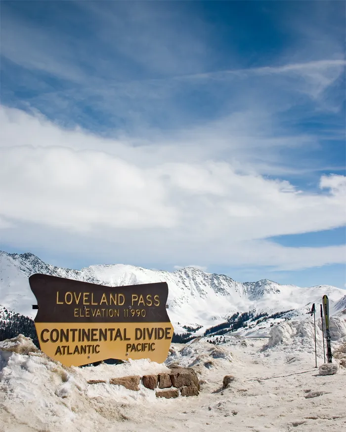
UnconfirmedUS Highway 6 crosses the Continental Divide between the Loveland and Arapahoe Basin ski areas. It is a different route from the Eisenhower–Johnson tunnels.
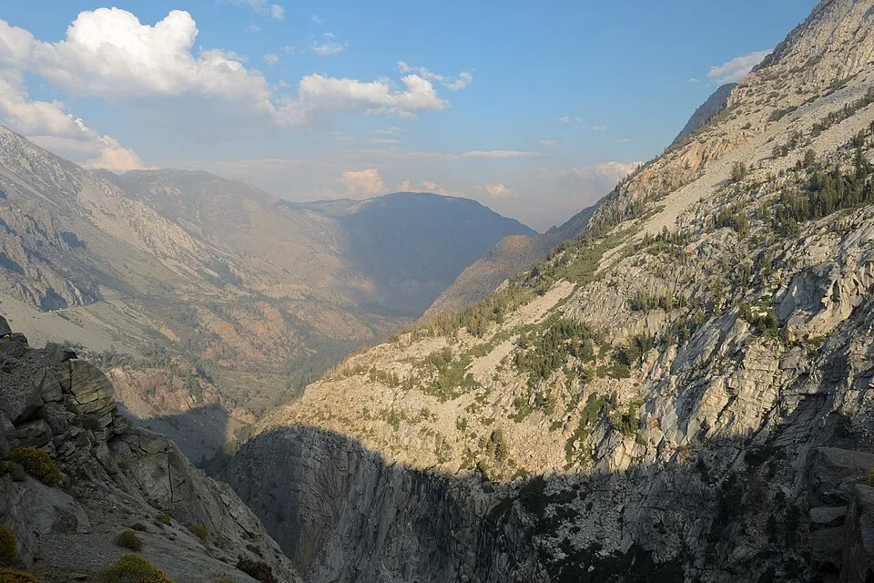
United States
Tioga Pass
3031 m
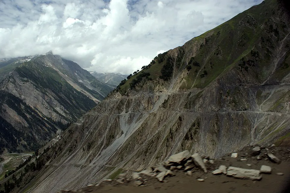
UnconfirmedThe eastern road entrance to Yosemite National Park, reached from Lee Vining. The Sierra Nevada crossing is a summer journey with a substantial winter closure.
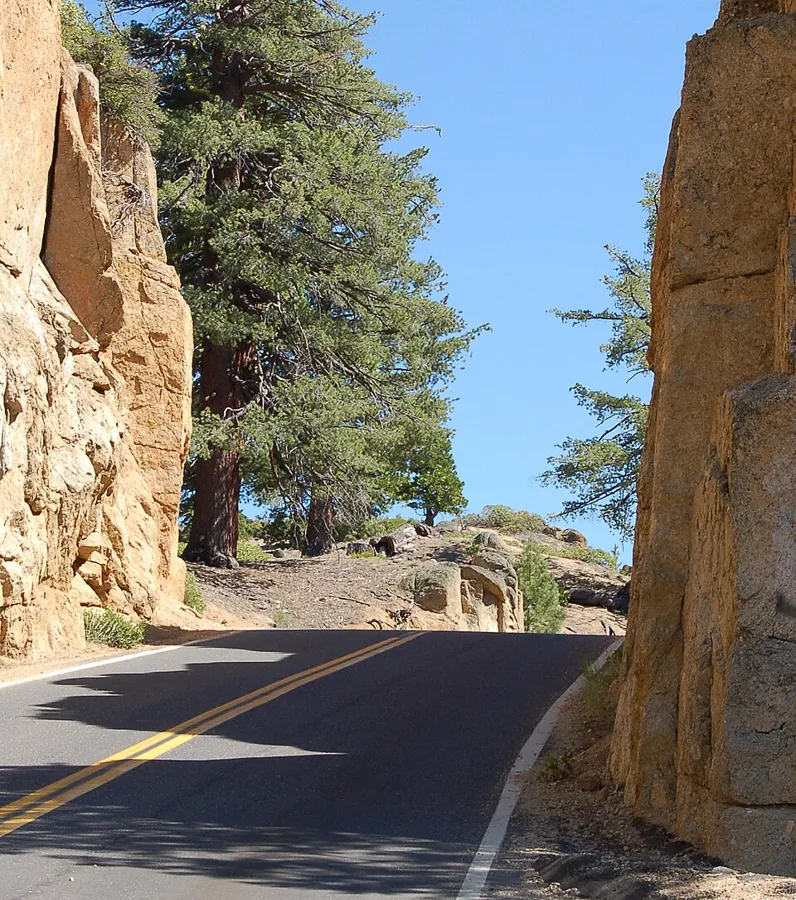
United States
Sonora Pass
2939 m
UnconfirmedCalifornia's Highway 108 crosses the Sierra Nevada here, between the Sonora and Bridgeport sides. Steep grades and sharp bends make vehicle dimensions particularly important.
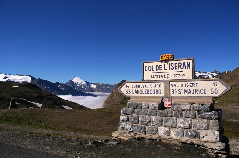
France
Col de l'Iseran
2764 m
UnconfirmedCol de l'Iseran links Val d'Isère and Bonneval-sur-Arc, between Tarentaise and Maurienne.
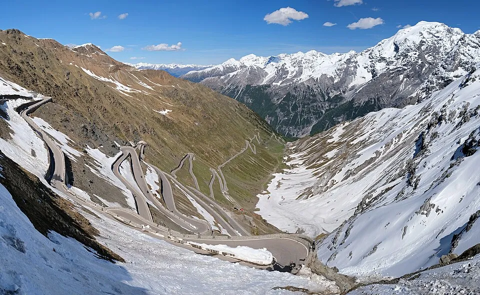
Italy
Stelvio Pass
2758 m
UnconfirmedStelvio Pass links Bormio and the Vinschgau valley, with a junction toward Umbrail.
France
Col de la Bonette
2715 m
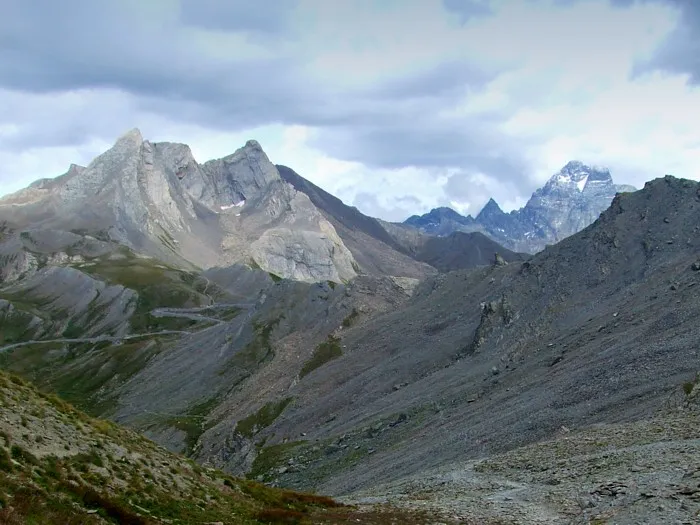
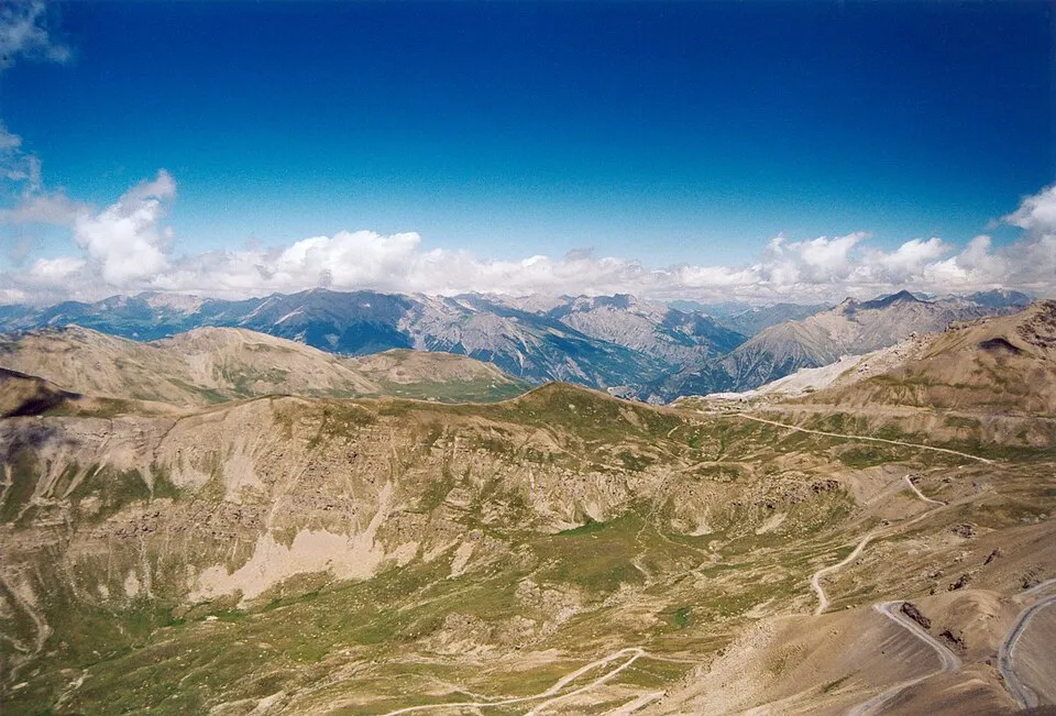
UnconfirmedCol de la Bonette links the Tinée and Ubaye valleys on the road beneath Cime de la Bonette.
France
Col du Galibier
2642 m
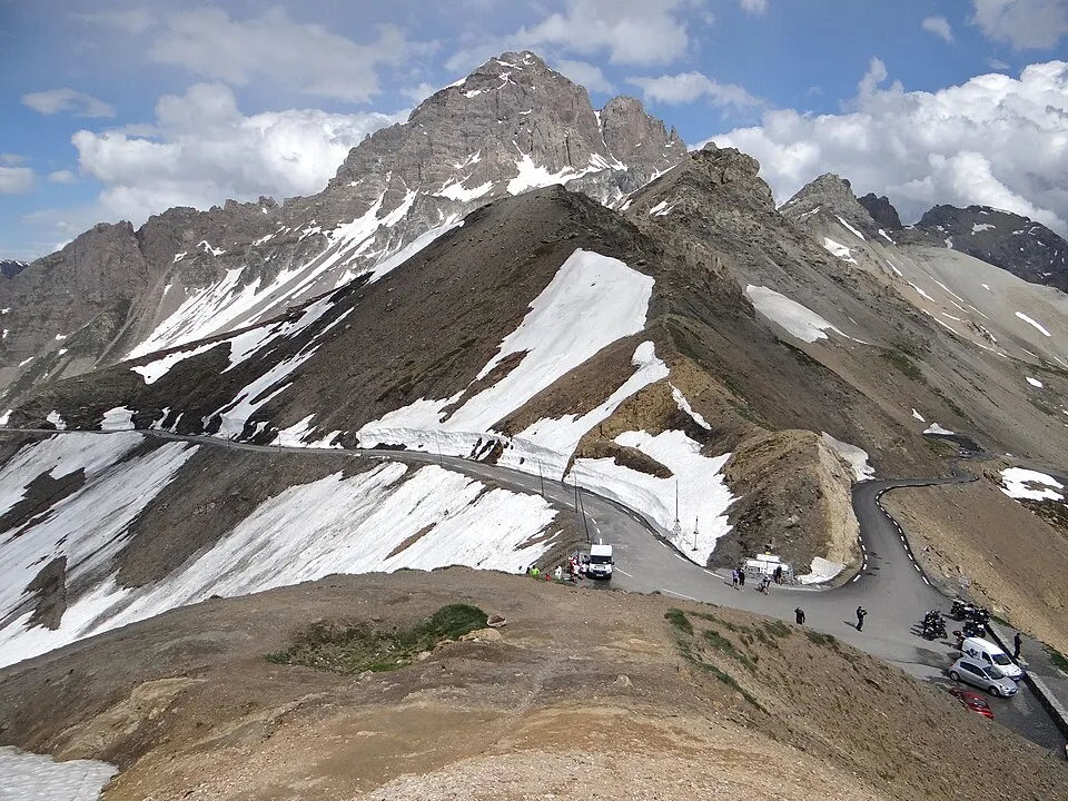
UnconfirmedCol du Galibier links Valloire and Col du Lautaret on the high road between Maurienne and Briançon.
Italy
Gavia Pass
2621 m
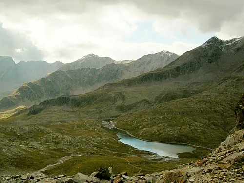
UnconfirmedGavia Pass links Ponte di Legno and Santa Caterina Valfurva on a narrow high road.
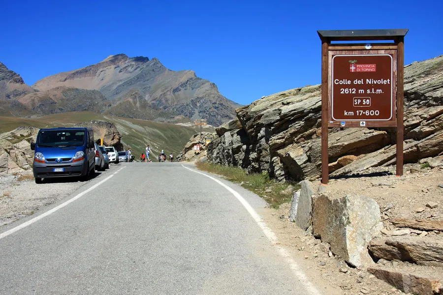
Italy
Nivolet Pass
2612 m
UnconfirmedA high road destination in Gran Paradiso National Park, reached from the Ceresole Reale side. The vehicle road does not continue through to Valsavarenche.
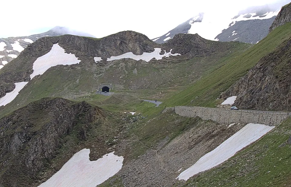
Austria
Hochtor
2504 m
UnconfirmedHochtor links the northern and southern sides of the Grossglockner High Alpine Road.
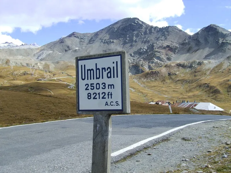
Switzerland
Umbrail Pass
2501 m
UnconfirmedUmbrail Pass is a road crossing in Switzerland. Nearby places include Sant'Antonio, Bormio.
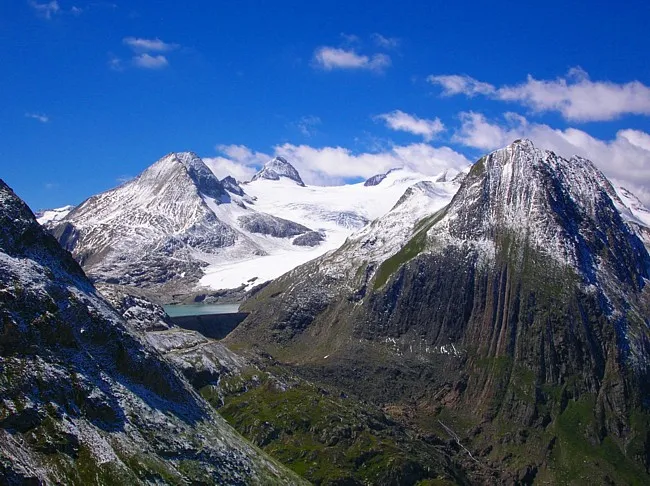
Switzerland
Nufenen Pass
2480 m
UnconfirmedNufenen Pass is a road crossing in Switzerland. Nearby places include Fiesch, Andermatt.
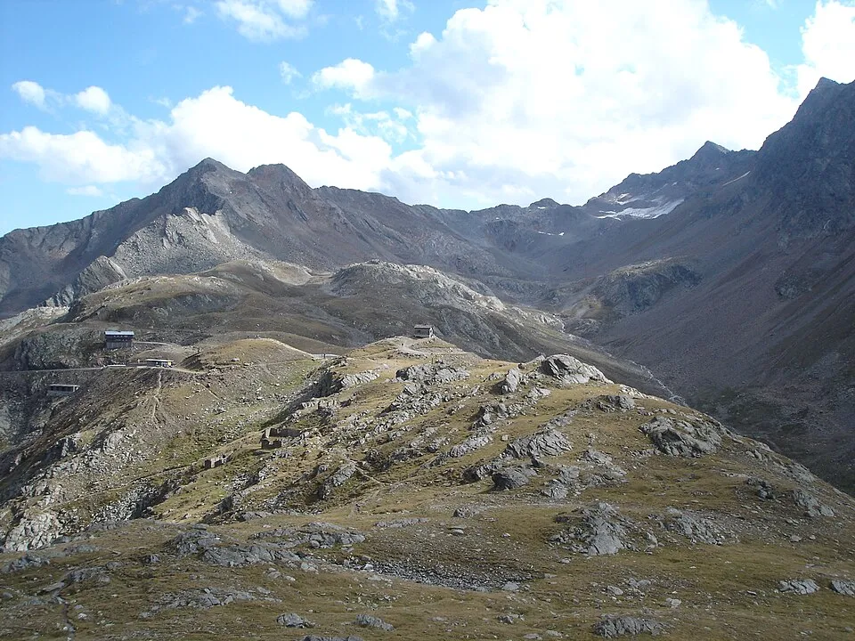
Italy
Timmelsjoch / Passo del Rombo
2474 m
UnconfirmedTimmelsjoch / Passo del Rombo links Ötztal in Austria and the Passeier valley in Italy.
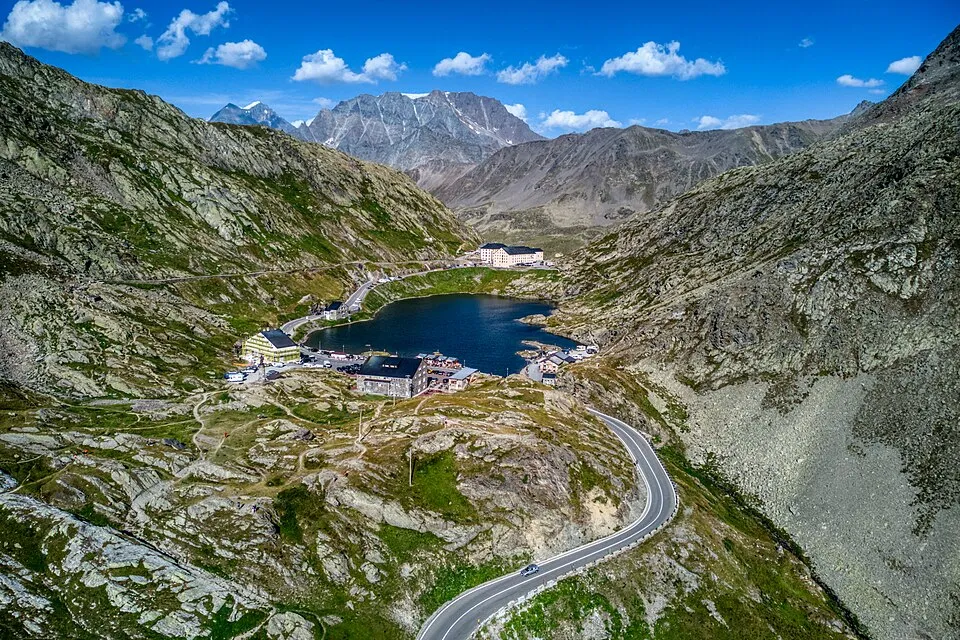
Italy
Great St Bernard Pass
2469 m
UnconfirmedGreat St Bernard Pass is a road crossing in Italy. Nearby places include Courmayeur, Aosta.
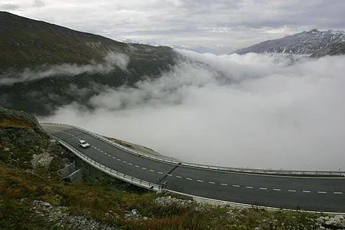
Switzerland
Furka Pass
2429 m
UnconfirmedFurka Pass is a road crossing in Switzerland. Nearby places include Andermatt, Meiringen.
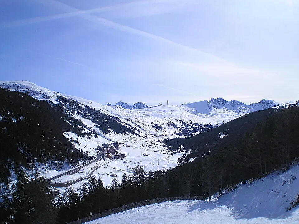
Andorra
Port d'Envalira
2408 m
UnconfirmedThe high road above Pas de la Casa in Andorra. Distinguish the summit road from the lower Envalira tunnel when checking access.
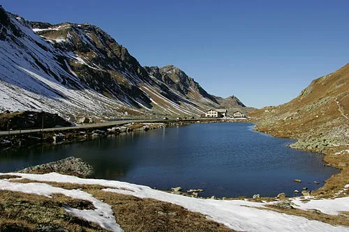
Switzerland
Flüela Pass
2383 m
UnconfirmedFlüela Pass is a road crossing in Switzerland. Nearby places include Davos, Zernez.
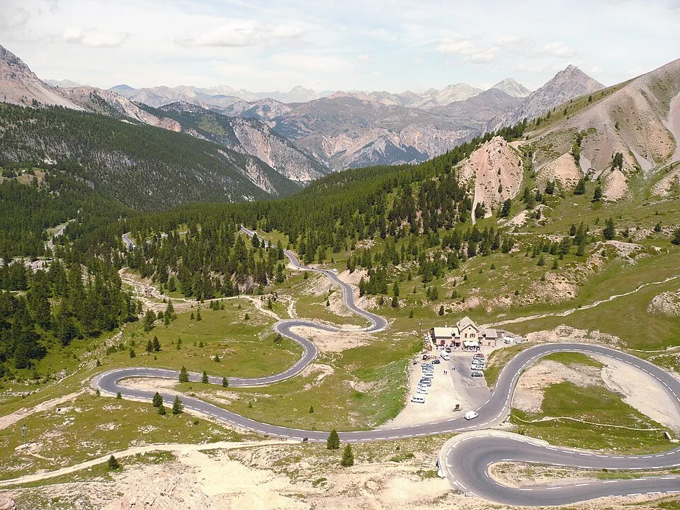
France
Col d'Izoard
2361 m
UnconfirmedCol d'Izoard links Briançon and the Queyras, passing the bare rock landscape of Casse Déserte.
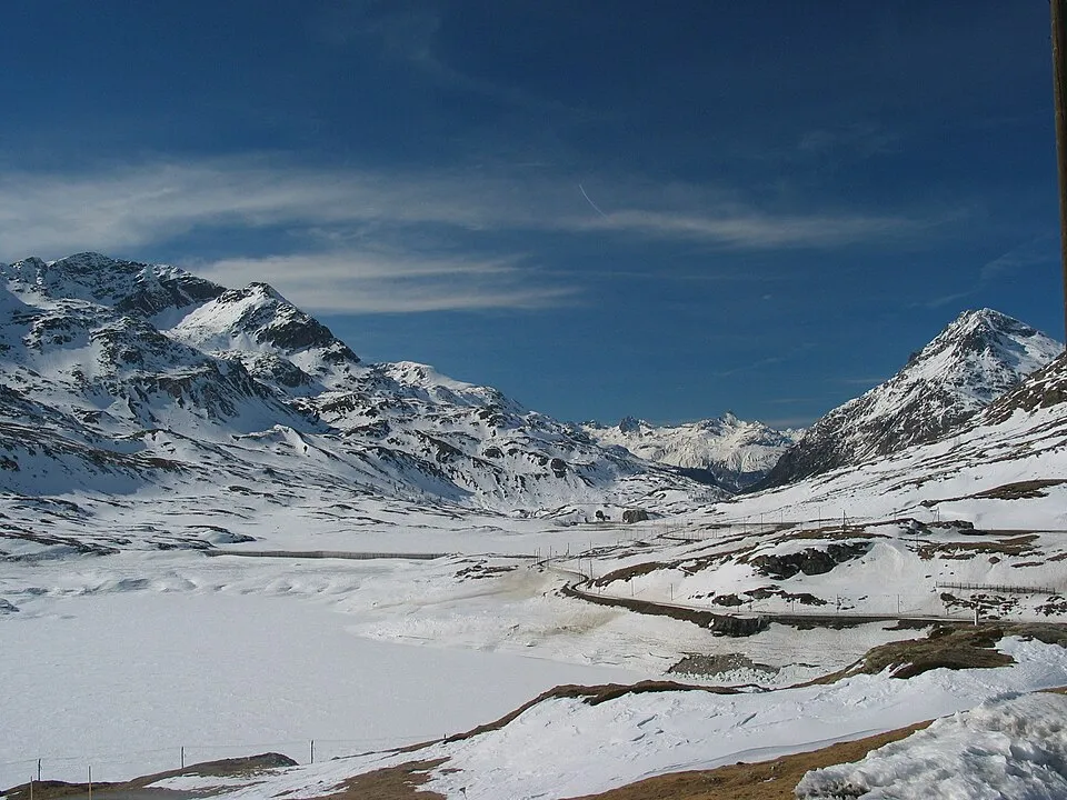
Switzerland
Bernina Pass
2330 m
UnconfirmedBernina Pass is a road crossing in Switzerland. Nearby places include Pontresina, Livigno.
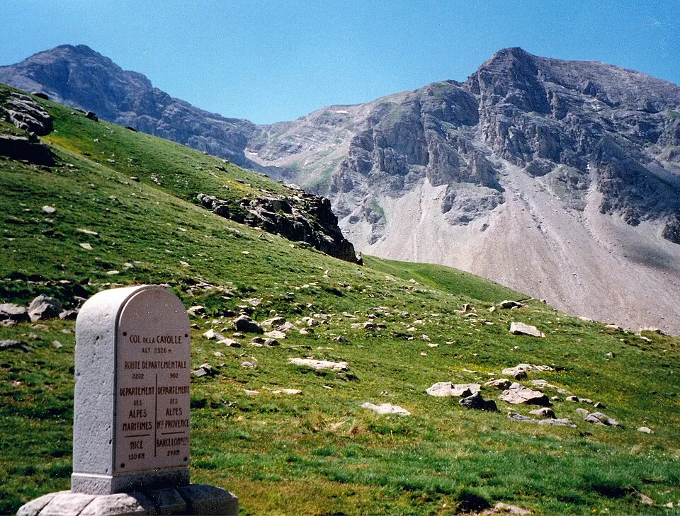
France
Col de la Cayolle
2326 m
UnconfirmedCol de la Cayolle links Barcelonnette and the upper Var valley beside Mercantour.
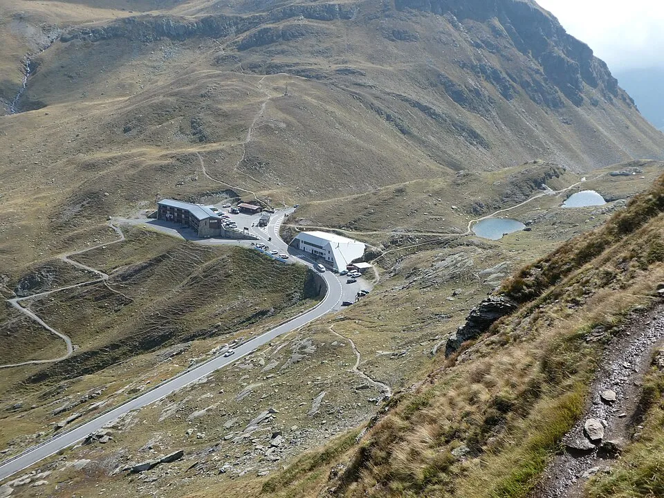
Italy
Livigno Pass
2315 m
UnconfirmedLivigno Pass is a road crossing in Italy. Nearby places include Livigno, Pontresina.
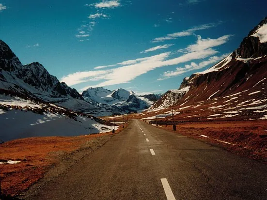
Switzerland
Albula Pass
2312 m
UnconfirmedAlbula Pass is a road crossing in Switzerland. Nearby places include Samedan, St. Moritz.
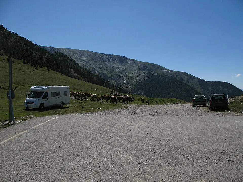
Andorra
port de Cabús
2306 m
UnconfirmedA high border road reached from Pal in Andorra. The onward Spanish approach includes an unpaved mountain track; this is not an ordinary paved international shortcut.
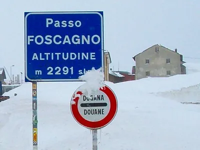
Italy
Foscagno Pass
2291 m
UnconfirmedFoscagno Pass links the Bormio side and the route into Livigno via Eira.
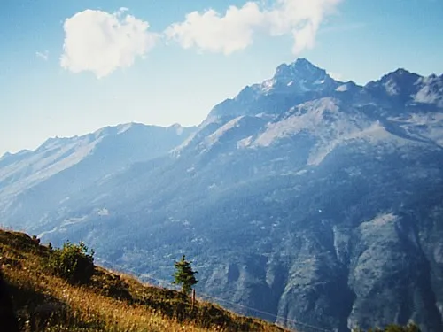
Italy
Colle di Sampeyre
2284 m
UnconfirmedColle di Sampeyre links Val Varaita and Valle Maira high above Sampeyre.
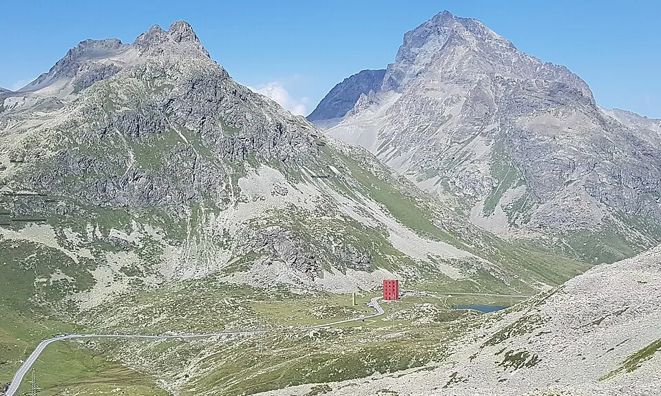
Switzerland
Julier Pass
2284 m
UnconfirmedJulier Pass is a road crossing in Switzerland. Nearby places include Silvaplana, St. Moritz.
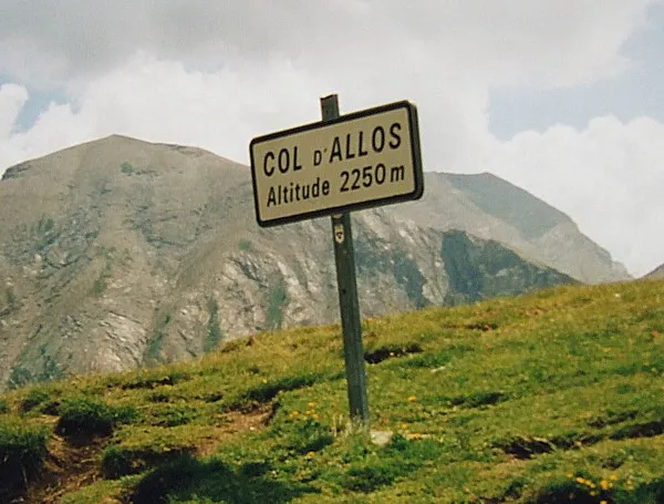
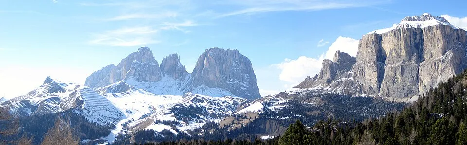
Italy
Sella Pass
2240 m
UnconfirmedSella Pass links Val Gardena and Val di Fassa at the foot of the Sella massif.
Italy
Giau Pass
2236 m
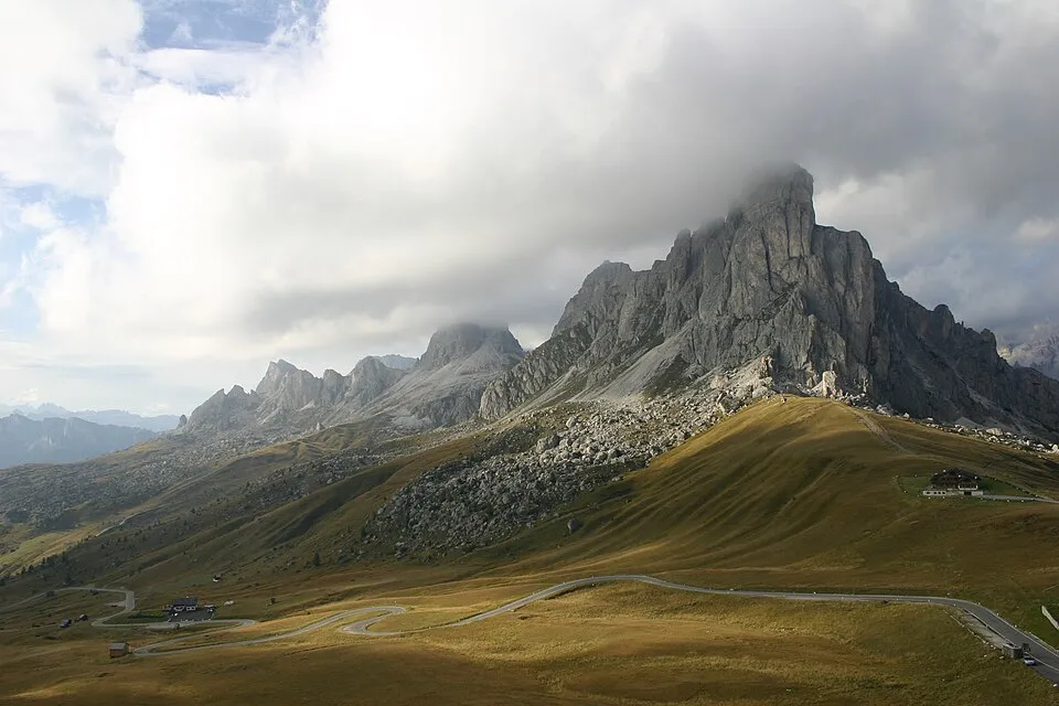
UnconfirmedGiau Pass links Cortina d'Ampezzo and Selva di Cadore beneath Ra Gusela.
Switzerland
Susten Pass
2224 m
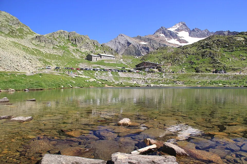
UnconfirmedSusten Pass is a road crossing in Switzerland. Nearby places include Engelberg, Andermatt.
Italy
Passo d’Eira
2208 m
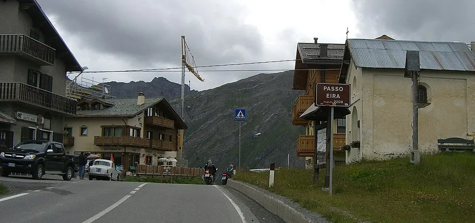
UnconfirmedPasso d’Eira is a road crossing in Italy. Nearby places include Livigno, Bormio.
Italy
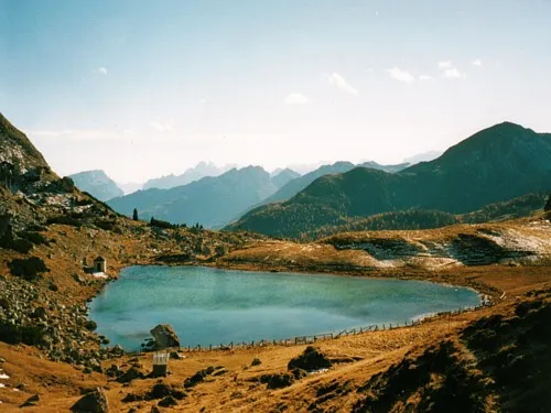
Valparola Pass
2192 m
UnconfirmedValparola Pass links the Falzarego area and Alta Badia past the former border landscape.
Italy
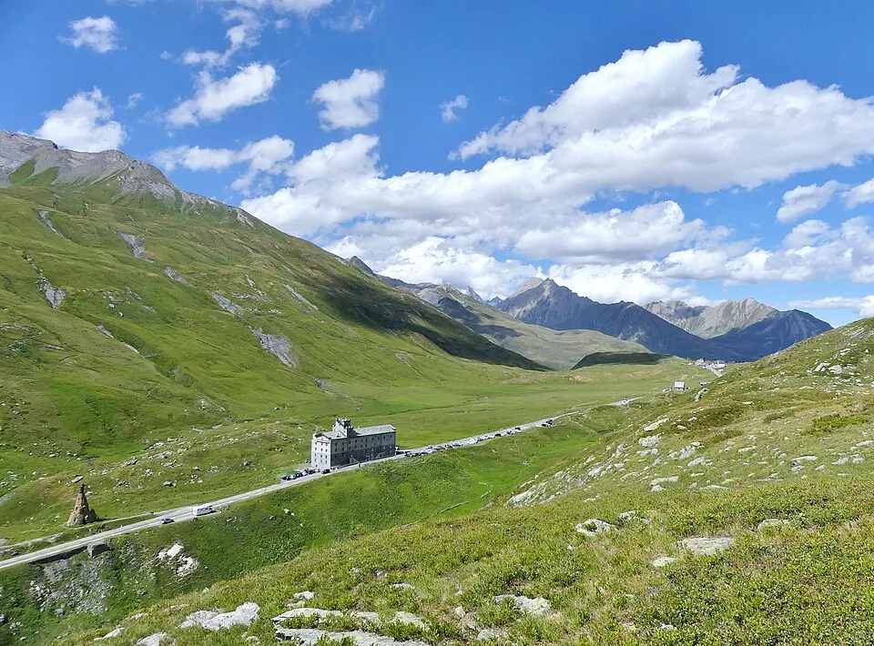
Little St Bernard Pass
2188 m
UnconfirmedLittle St Bernard Pass links Bourg-Saint-Maurice and La Thuile across the France–Italy border.
Italy
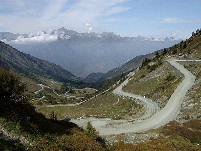
Colle delle Finestre
2176 m
UnconfirmedColle delle Finestre links the Susa and Chisone valleys on a partly unpaved road.
Switzerland
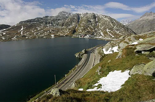
Grimsel Pass
2164 m
UnconfirmedGrimsel Pass is a road crossing in Switzerland. Nearby places include Andermatt, Meiringen.
United States
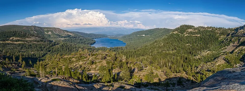
Donner Pass
2151 m
UnconfirmedThe historic road crossing above Donner Lake near Truckee. This record refers to Donner Pass Road, not the separate Interstate 80 summit.
Switzerland
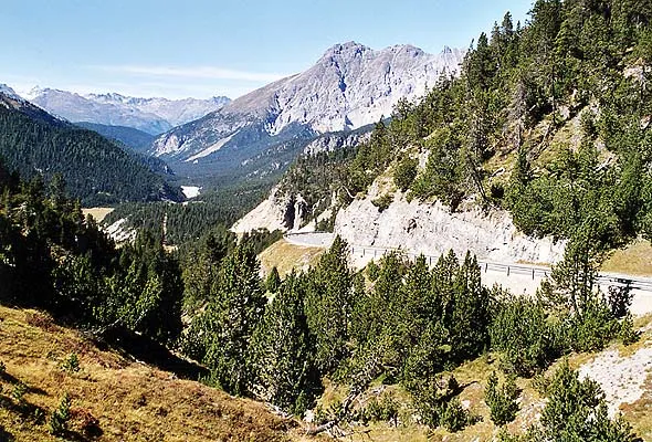
Fuorn Pass
2150 m
UnconfirmedFuorn Pass is a road crossing in Switzerland. Nearby places include Zernez, Livigno.
Italy
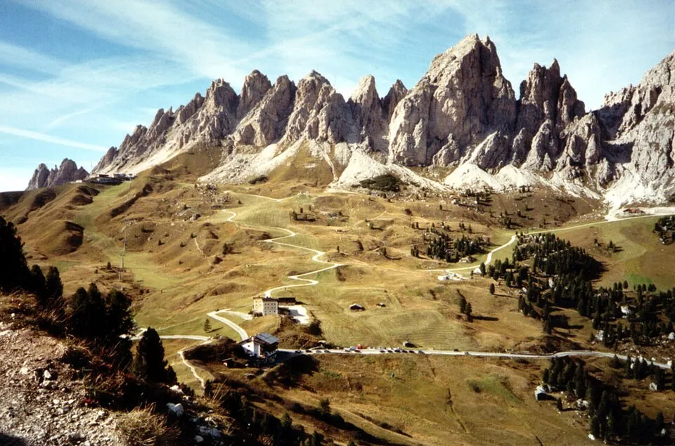
Gardena Pass
2121 m
UnconfirmedGardena Pass links Val Gardena and Alta Badia below the Sella massif.
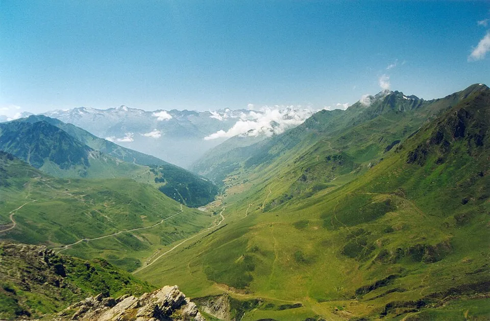
France
Col du Tourmalet
2115 m
UnconfirmedCol du Tourmalet links La Mongie and Barèges, with ski terrain on both approaches.
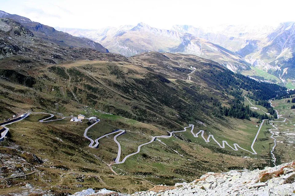
Switzerland
Splügen Pass
2115 m
UnconfirmedSplügen Pass is a road crossing in Switzerland. Nearby places include Pianazzo, Lenzerheide.
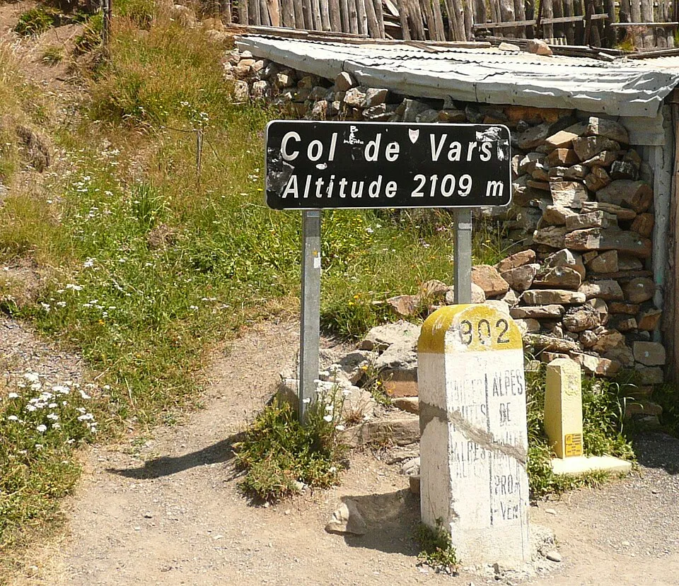
France
Col de Vars
2109 m
UnconfirmedCol de Vars links Guillestre and the Ubaye valley above the Vars ski area.
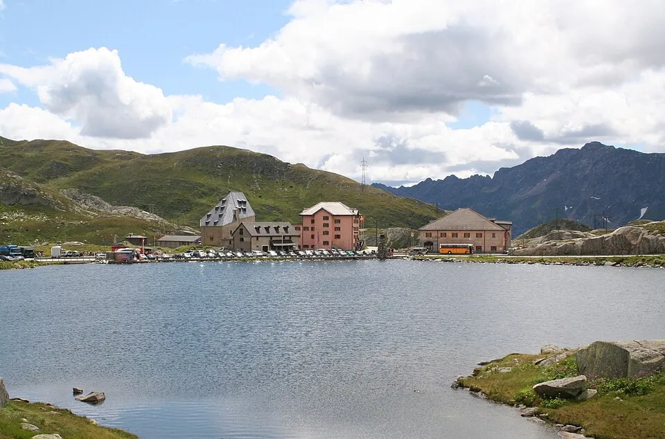
Switzerland
Gotthard Pass
2106 m
UnconfirmedGotthard Pass is a road crossing in Switzerland. Nearby places include Andermatt, Sedrun.
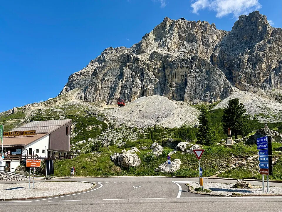
Italy
Falzarego Pass
2105 m
UnconfirmedFalzarego Pass links Cortina d'Ampezzo and the roads toward Agordino and Val Badia.
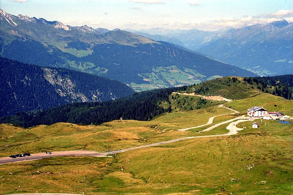
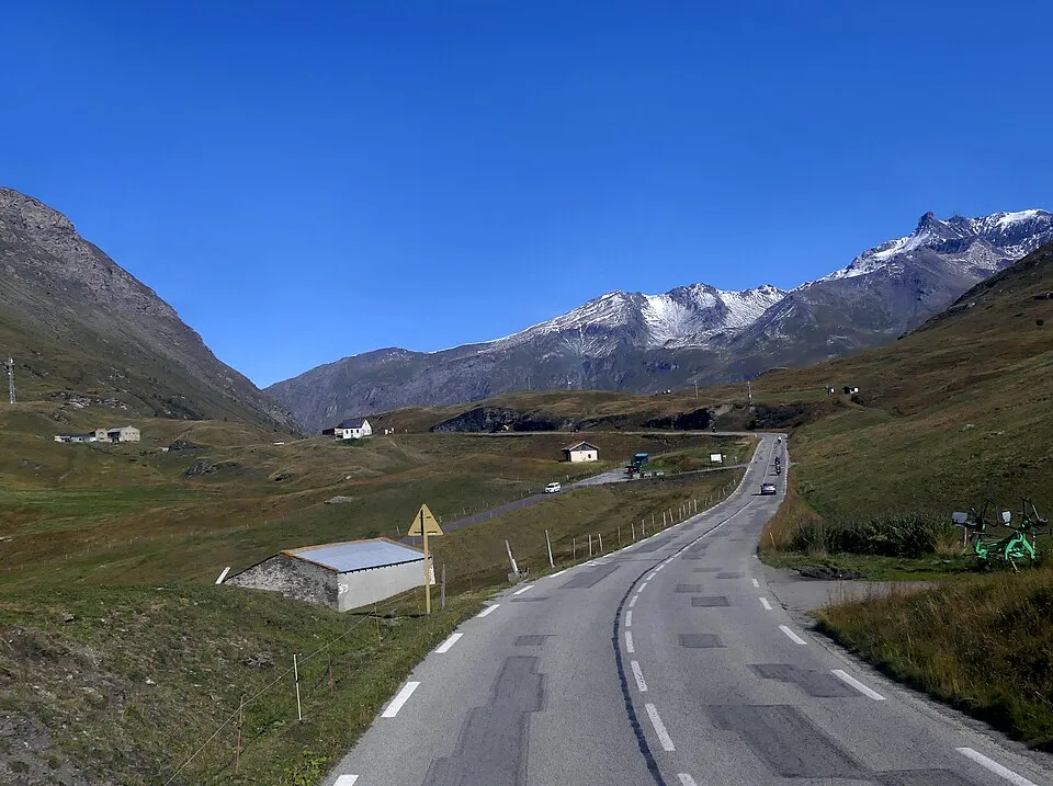
France
Mont Cenis Pass
2083 m
UnconfirmedMont Cenis Pass links Lanslebourg and the Italian Susa valley beside the Mont Cenis reservoir.
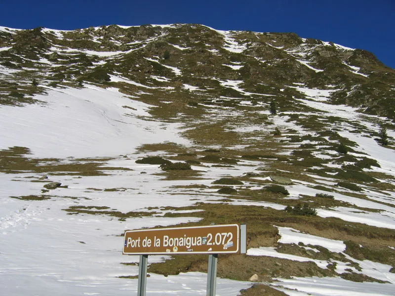
Spain
Port de la Bonaigua
2076 m
UnconfirmedPort de la Bonaigua links Val d'Aran and Pallars Sobirà near Baqueira Beret.
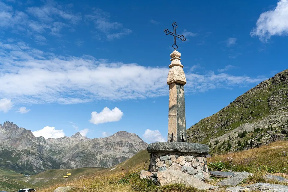
France
Col de la Croix de Fer
2067 m
UnconfirmedCol de la Croix de Fer links the Maurienne valley and the mountain roads toward Oisans.
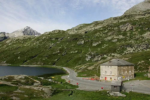
Switzerland
San Bernardino Pass
2067 m
UnconfirmedSan Bernardino Pass is a road crossing in Switzerland. Nearby places include Pianazzo, Obersaxen.
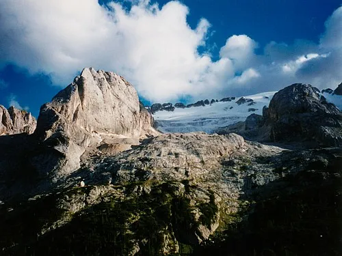
Italy
Passo Fedaia
2057 m
UnconfirmedPasso Fedaia links Canazei and the Malga Ciapela side beside the Marmolada.
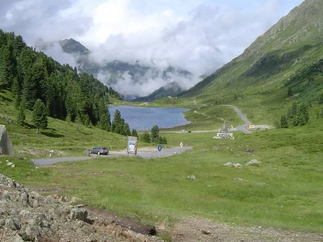
Austria
Staller Sattel
2052 m
UnconfirmedStaller Sattel links the Antholz/Anterselva valley and Austria's Defereggen valley.
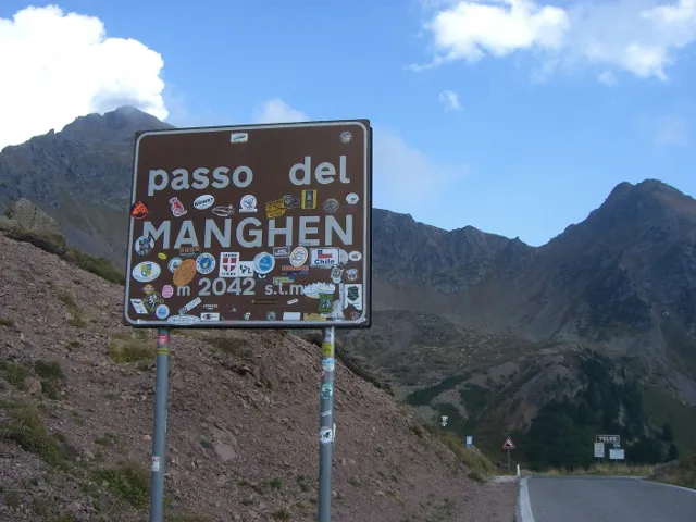
Italy
Manghen Pass
2047 m
UnconfirmedManghen Pass links Val di Fiemme and Valsugana across the Lagorai range.
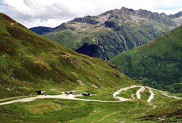
Switzerland
Oberalp Pass
2044 m
UnconfirmedOberalp Pass is a road crossing in Switzerland. Nearby places include Andermatt, Sedrun.
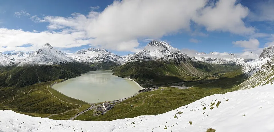
Austria
Bielerhöhe Pass
2037 m
UnconfirmedBielerhöhe Pass links Montafon and Paznaun on the Silvretta High Alpine Road.
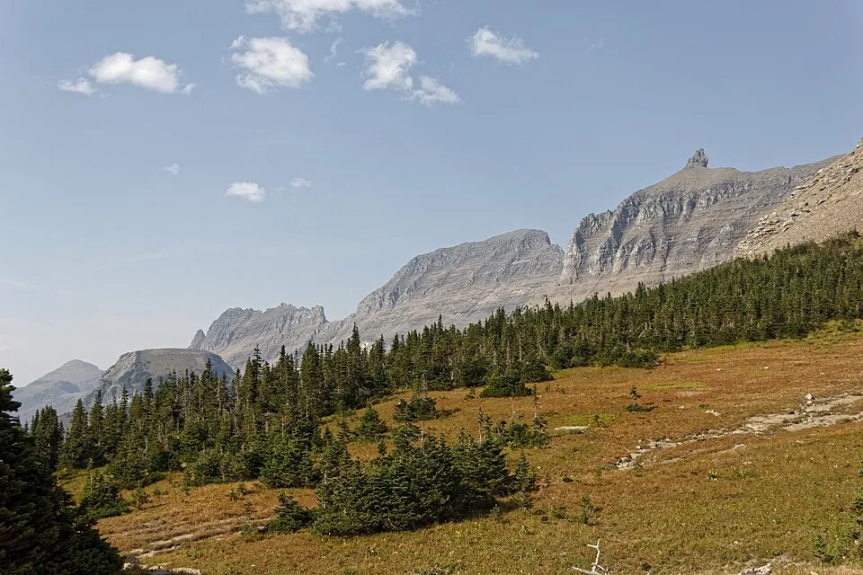
United States
Logan Pass
2026 m
UnconfirmedThe high point of Going-to-the-Sun Road in Glacier National Park. This is a road destination with strict seasonal and vehicle rules.
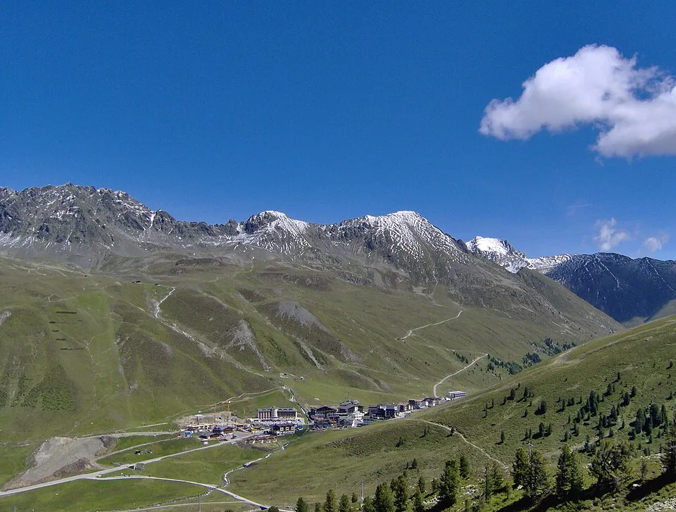
Austria
Kühtai Saddle
2017 m
UnconfirmedKühtai Saddle is a road crossing in Austria. Nearby places include Oetz, Goetzens.
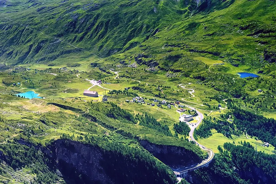
Switzerland
Simplon Pass
2006 m
UnconfirmedSimplon Pass is a road crossing in Switzerland. Nearby places include Bitsch, Saas-Fee.
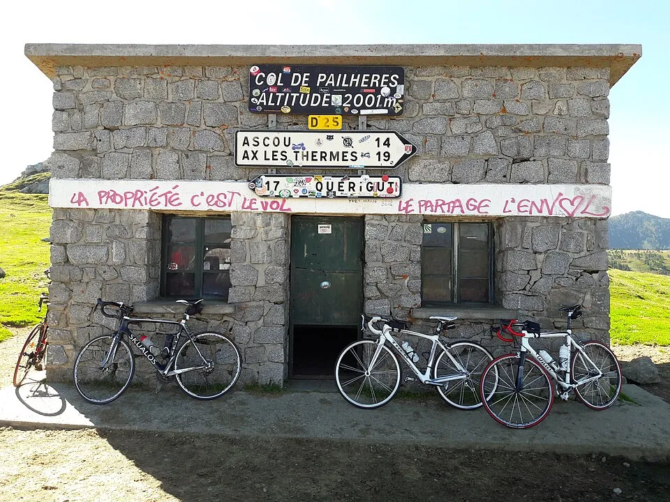
France
Port de Pailhères
2001 m
UnconfirmedPort de Pailhères links the Ax-les-Thermes side and Donezan in the eastern Pyrenees.
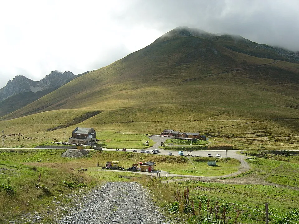
France
Col de la Madeleine
1993 m
UnconfirmedCol de la Madeleine links Maurienne and Tarentaise via the slopes above Saint-François-Longchamp.
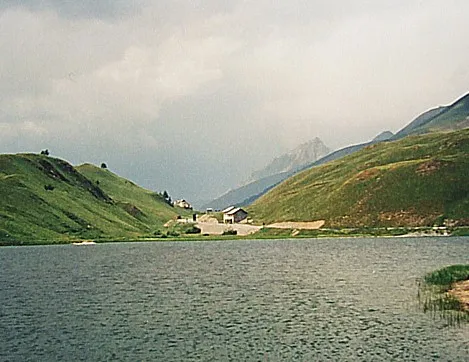
Italy
Maddalena Pass
1991 m
UnconfirmedMaddalena Pass links the Ubaye valley in France and Valle Stura in Italy.
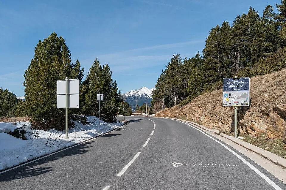
Andorra
Coll d'Ordino
1980 m
UnconfirmedA mountain road between Ordino and Canillo, with forest on the lower slopes and open views near the crest.
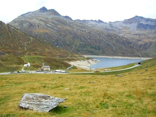
Switzerland
Lukmanier Pass
1972 m
UnconfirmedLukmanier Pass is a road crossing in Switzerland. Nearby places include Sedrun, Disentis.
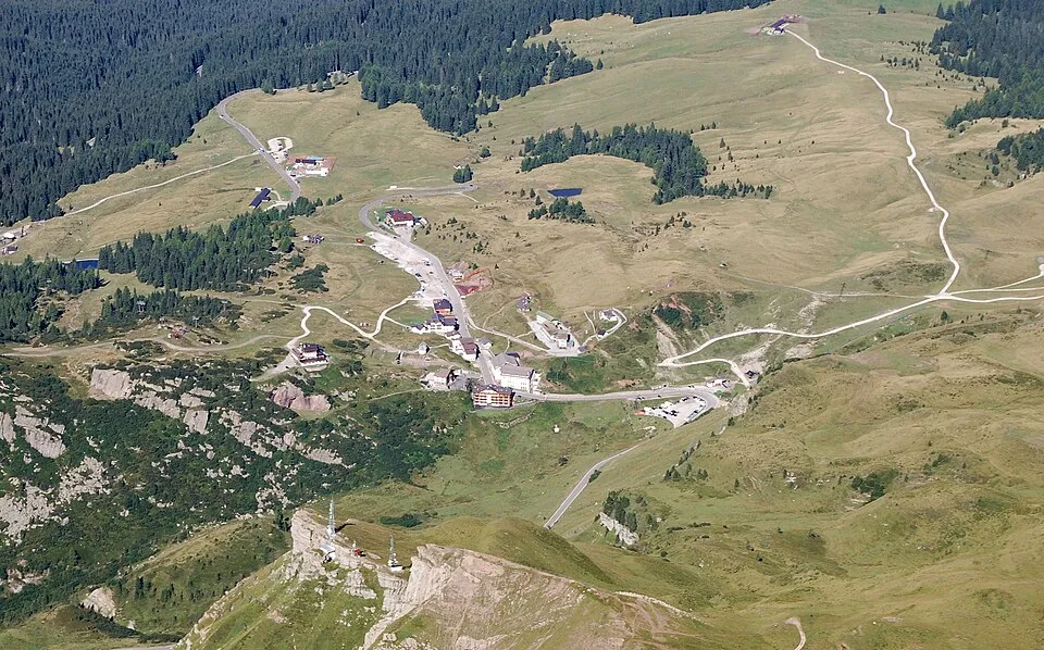
Italy
Rolle Pass
1971 m
UnconfirmedRolle Pass links San Martino di Castrozza and the road toward Predazzo beneath the Pale di San Martino.
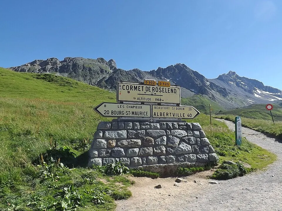
France
cormet de Roselend
1968 m
Unconfirmedcormet de Roselend links Beaufort and Bourg-Saint-Maurice above the Roselend reservoir.
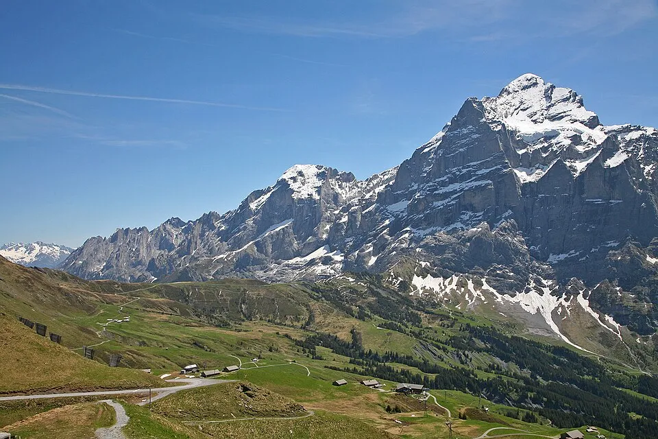
Switzerland
Grosse Scheidegg
1962 m
UnconfirmedGrosse Scheidegg is a road crossing in Switzerland. Nearby places include Grindelwald, Meiringen.
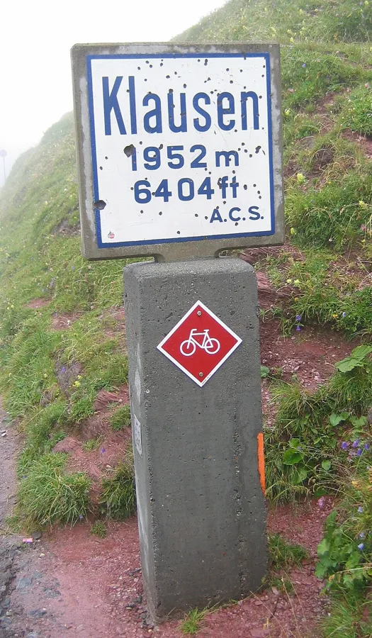
Switzerland
Klausen Pass
1952 m
UnconfirmedKlausen Pass is a road crossing in Switzerland. Nearby places include Illgau, Disentis.
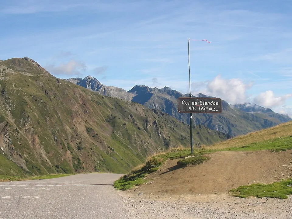
France
Col du Glandon
1924 m
UnconfirmedCol du Glandon links the Maurienne valley and the road junction toward Croix de Fer and Oisans.
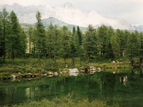
Italy
San Pellegrino Pass
1918 m
UnconfirmedSan Pellegrino Pass links Moena and the Agordino side through the San Pellegrino ski area.
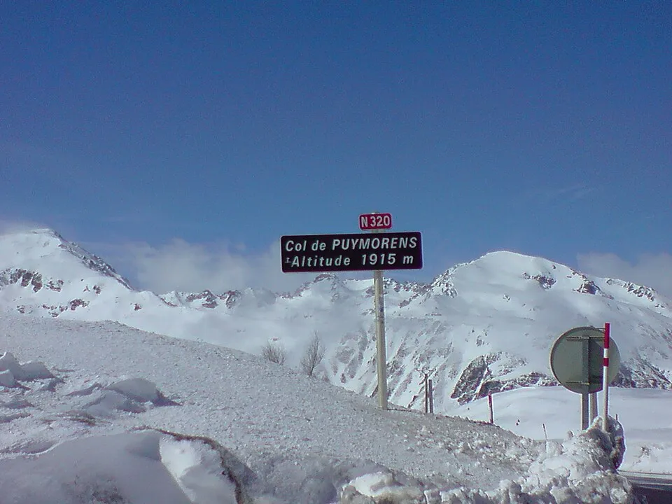
France
Col de Puymorens
1915 m
UnconfirmedCol de Puymorens links the Ariège valley and Cerdagne above the Puymorens tunnel.
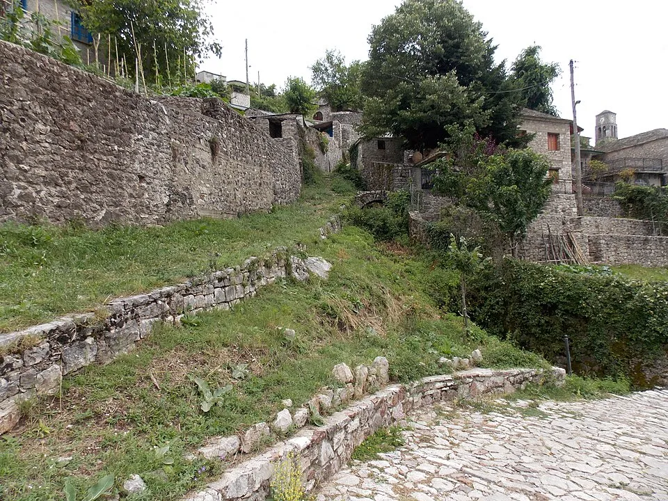
Greece
Baros Pass
1900 m
UnconfirmedA high road across the southern Pindus, linking the Kalarrytes side with the Aspropotamos villages.
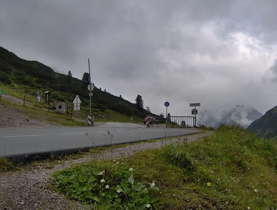
Austria
Hahntennjoch
1894 m
UnconfirmedHahntennjoch links Imst and the Lechtal on a narrow route through the Lechtal Alps.
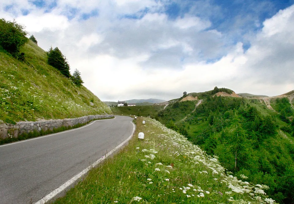
Italy
Croce Domini Pass
1892 m
UnconfirmedCroce Domini Pass is a road crossing in Italy. Nearby places include Aprica, Pinzolo.
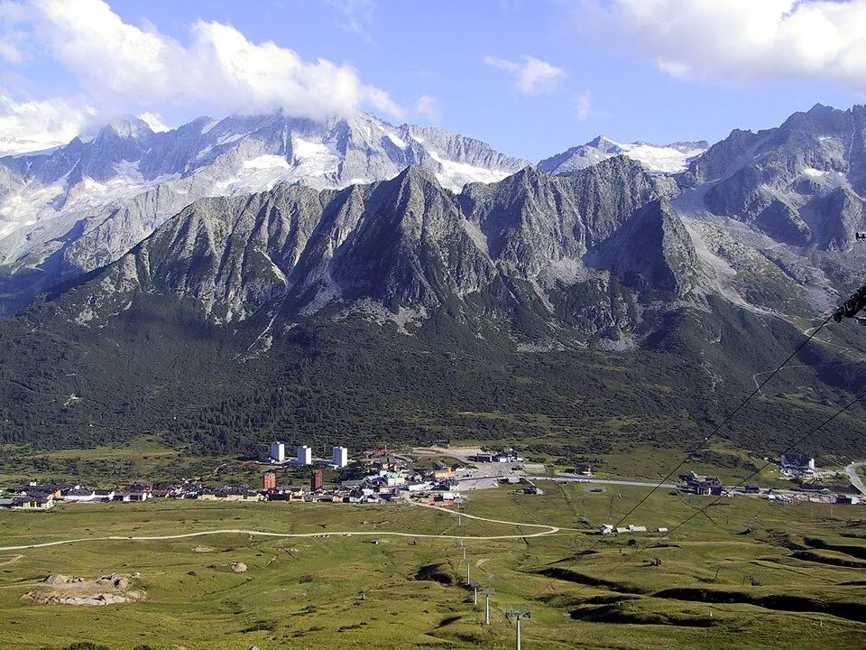
Italy
Tonale Pass
1883 m
UnconfirmedTonale Pass links Val Camonica and Val di Sole, beside the Tonale ski area.
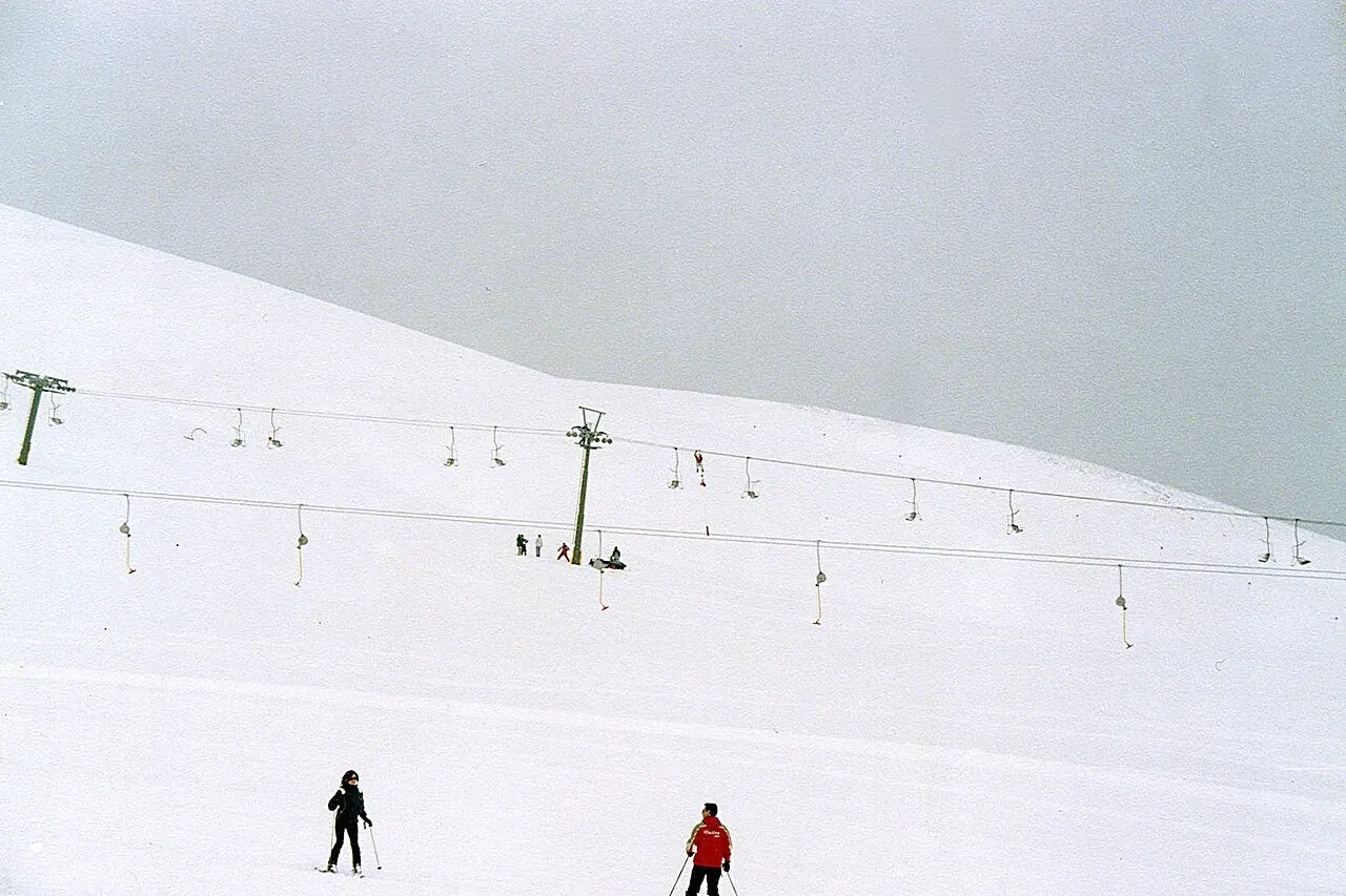
Greece
Velouchi road crossing
Road reference point: ≈ 1870 m
UnconfirmedThe Velouchi road crossing links the Karpenisi and ski-centre side with Agia Triada on the northern side of Mount Tymfristos. The mapped asphalt road includes a tunnel near the ski area and continues towards the villages of Evrytania.
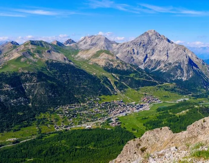
France
Col de Montgenèvre
1860 m
UnconfirmedCol de Montgenèvre links Briançon and the Italian Susa valley through Montgenèvre.
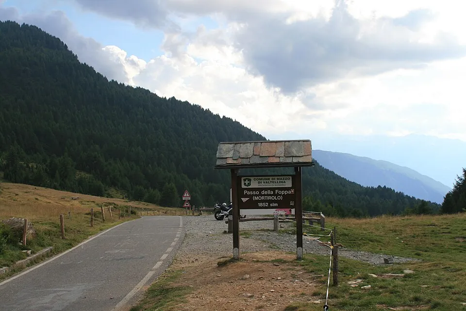
Italy
Mortirolo Pass
1852 m
UnconfirmedMortirolo Pass links Valtellina and Val Camonica on a famously steep cycling route.
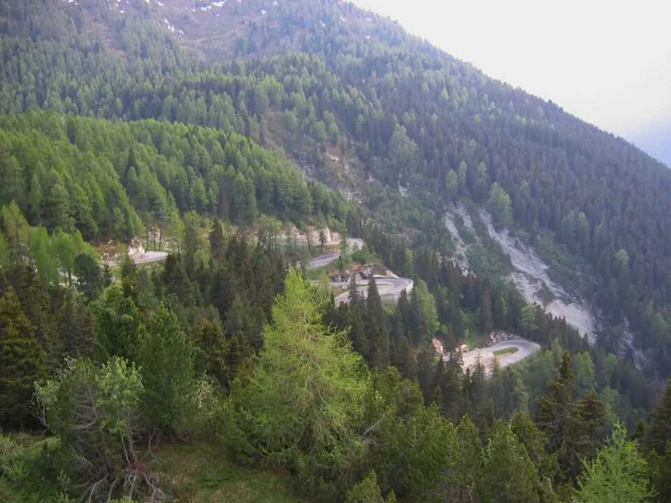
Switzerland
Maloja Pass
1815 m
UnconfirmedMaloja Pass is a road crossing in Switzerland. Nearby places include Silvaplana, St. Moritz.
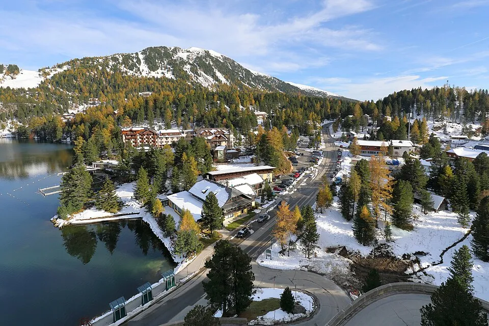
Austria
Turracher Höhe Pass
1795 m
UnconfirmedTurracher Höhe Pass links Styria and Carinthia through the Turracher Höhe ski area.
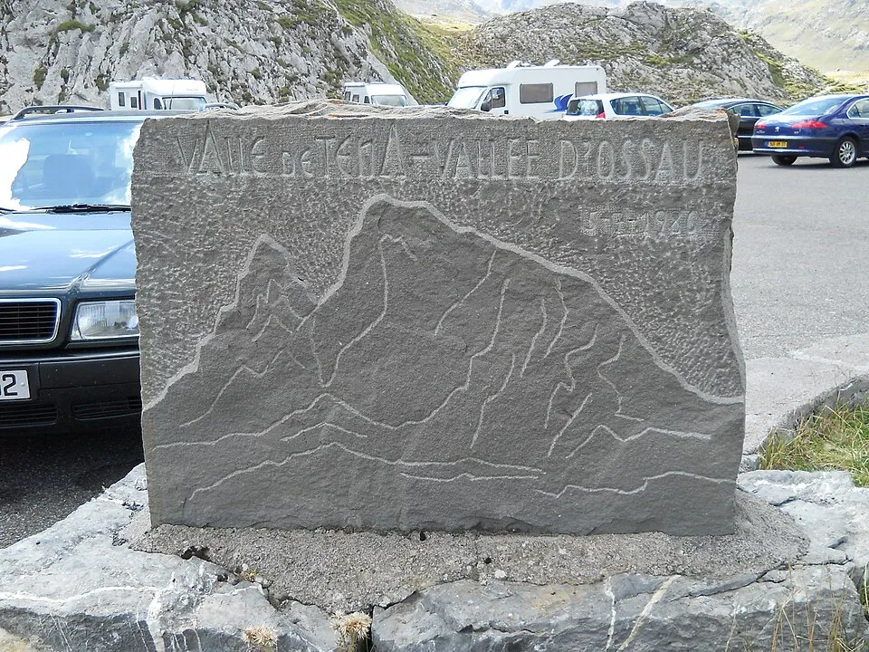
France
Col du Pourtalet
1794 m
UnconfirmedCol du Pourtalet links France's Ossau valley and the Tena valley in Spain.
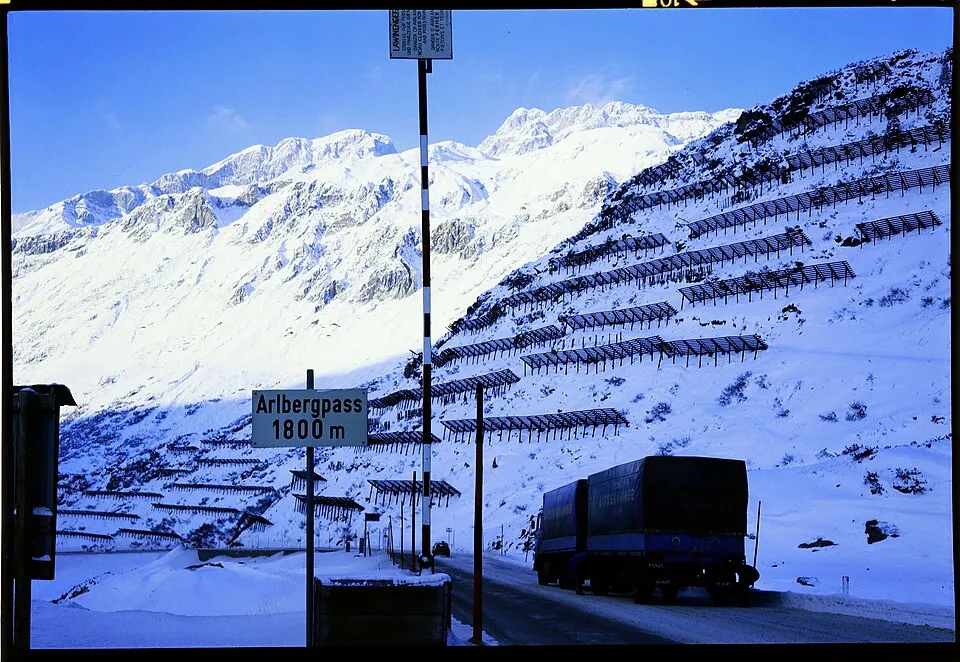
Austria
Arlberg Pass
1793 m
UnconfirmedArlberg Pass links St Anton and St Christoph with the Vorarlberg side of Arlberg.
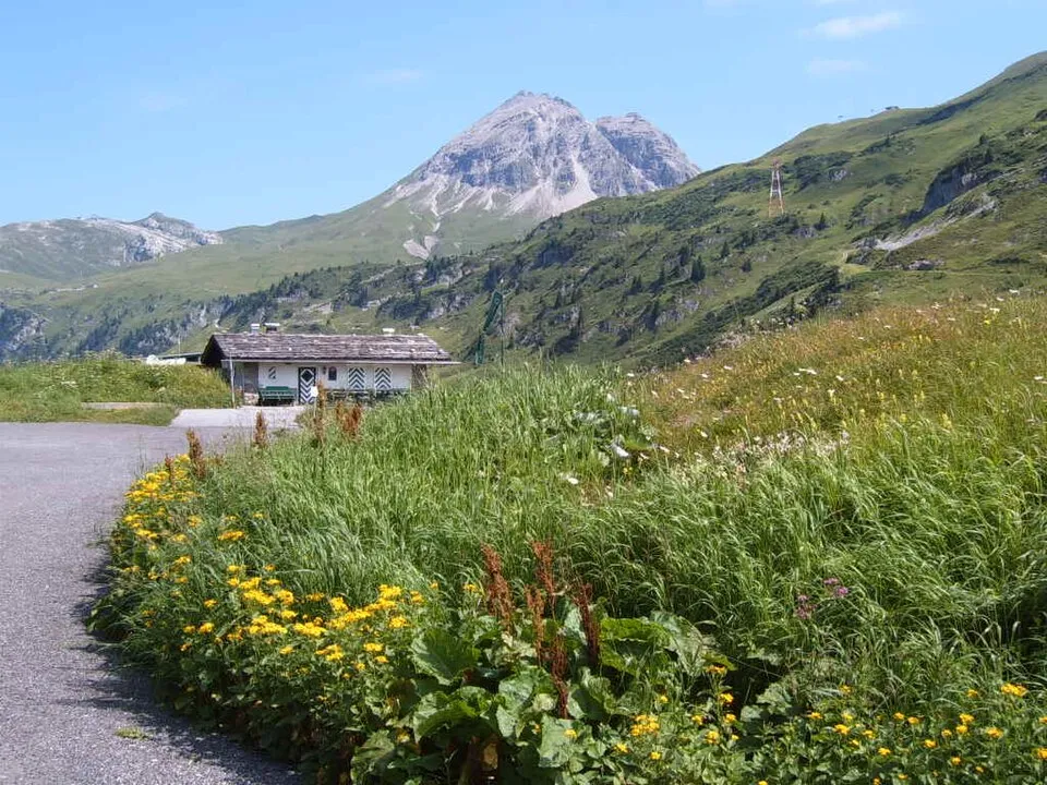
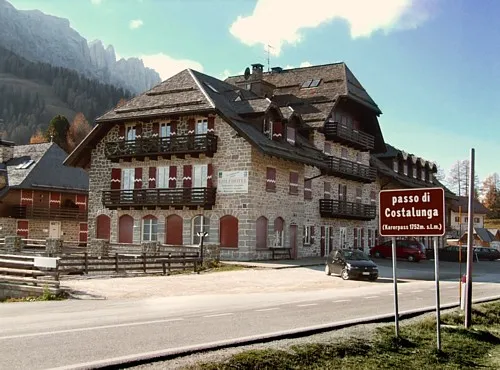
Italy
Karerpass
1745 m
UnconfirmedKarerpass links Val d'Ega and Val di Fassa below the Latemar and Catinaccio mountains.
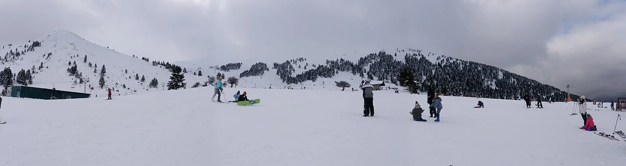
Greece
Peristera Pass
1740 m
UnconfirmedPeristera Pass lies on the mountain road from the Kalavryta ski-centre side towards Peristera, with onward roads to Zarouchla. The mapped saddle on Mount Helmos is at 1,740 m on an asphalt section of the Peristera–Kalavryta road.
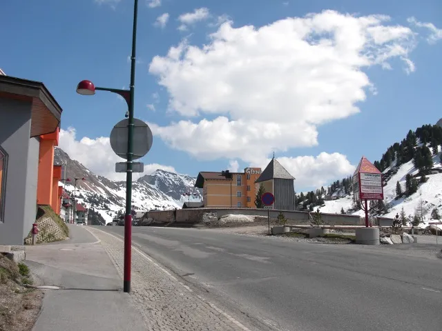
Austria
Radstädter Tauern Pass
1738 m
UnconfirmedRadstädter Tauern Pass links the two approaches to Obertauern on the old Tauern road.
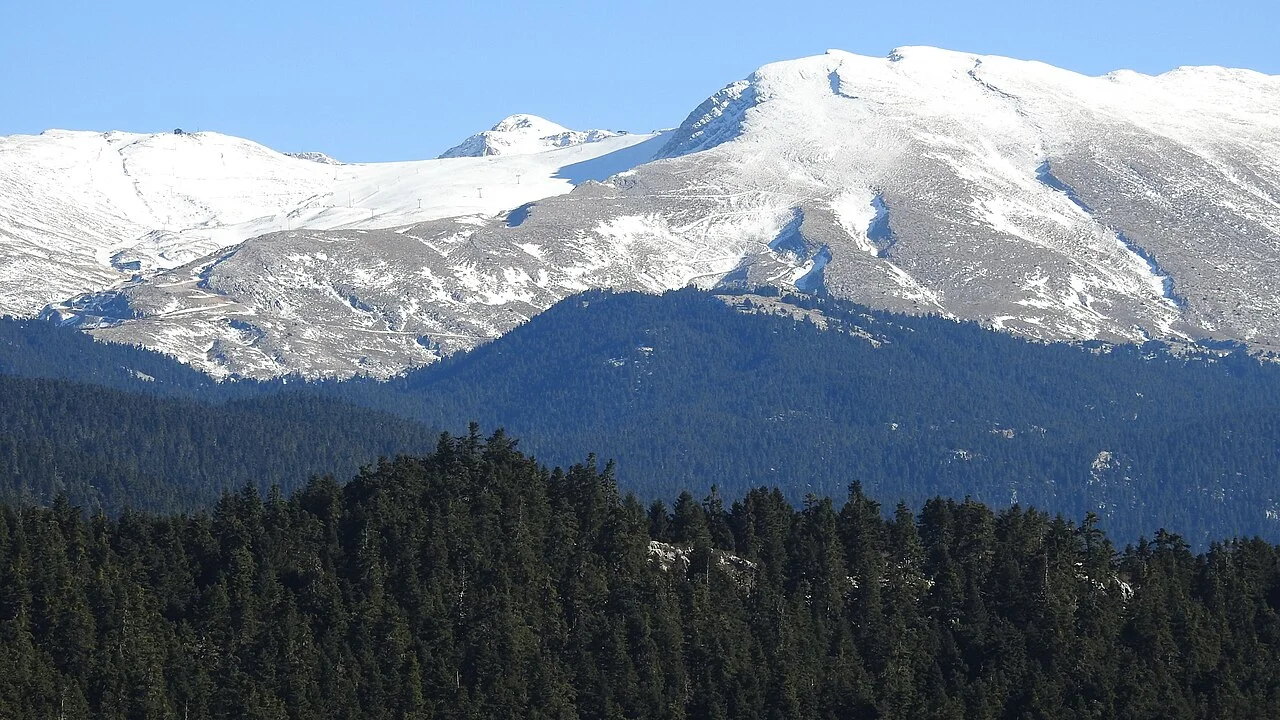
Greece
Parnassos road crossing
Road reference point: ≈ 1720 m
UnconfirmedThe Parnassos mountain-road network connects Kelaria and Fterolaka, with approaches from Arachova, Livadi and Eptalofos and onward roads towards Amfikleia or Polydrosos. This guide brings together the main road branches, nearby villages and sources of access information.
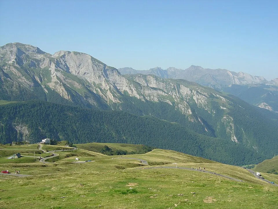
France
Col d'Aubisque
1709 m
UnconfirmedCol d'Aubisque links Gourette and the road toward Soulor, above the green valleys of Béarn.
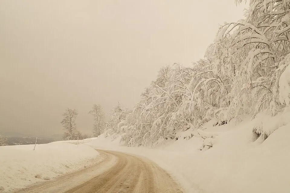
Greece
Vasilitsa Pass
1700 m
UnconfirmedThe mapped road crossing in the Vasilitsa area, useful for planning a mountain drive near the ski centre. It is not the summit of Vasilitsa.
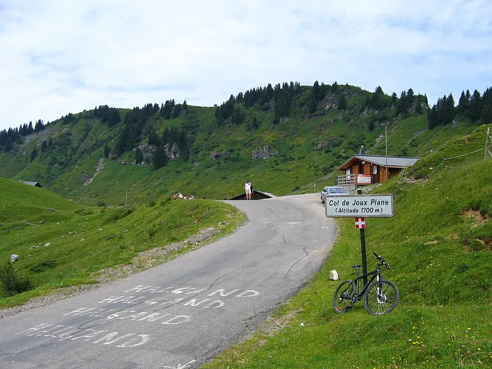
France
Col de Joux Plane
1691 m
UnconfirmedCol de Joux Plane links Samoëns and Morzine on a high road through the Chablais mountains.
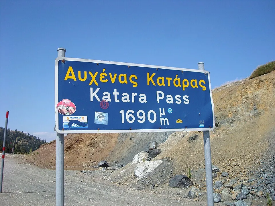
Greece
Katara Pass
1690 m
UnconfirmedThe old road across the Pindus near Metsovo, between Epirus and Thessaly. It is a scenic alternative whose condition must be checked separately from Egnatia Odos.
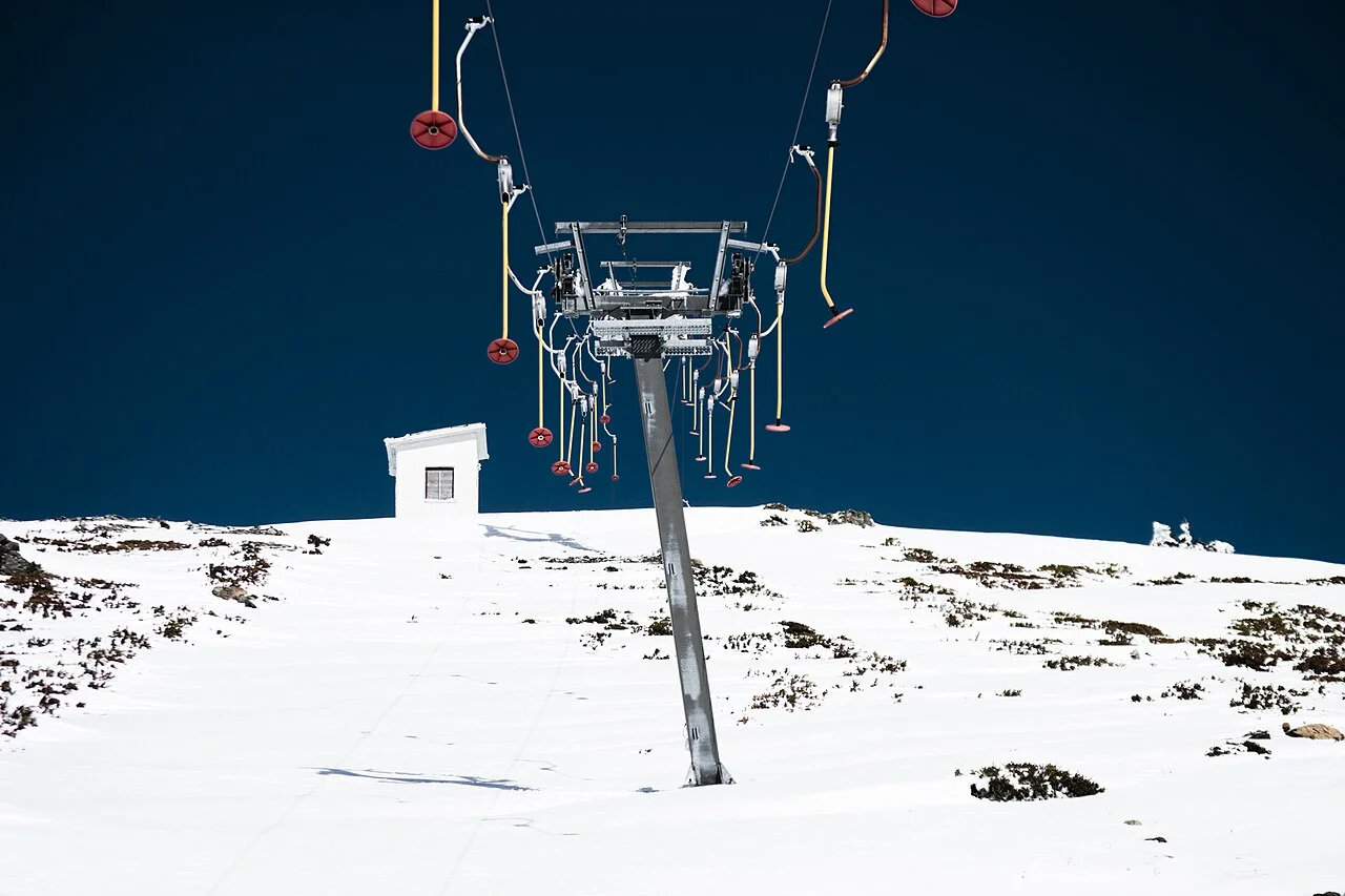
Greece
Skafida Pass
1652 m
UnconfirmedThe road from Chaliki towards Anilio and Metsovo crosses Skafida Pass in the Pindus. The mapped saddle is at 1,652 m on the asphalt road linking the Aspropotamos side of the mountains with the Metsovo area.
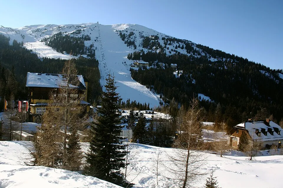
Austria
Katschberg Pass
1641 m
UnconfirmedKatschberg Pass links Lungau and Carinthia through the Katschberg ski area.
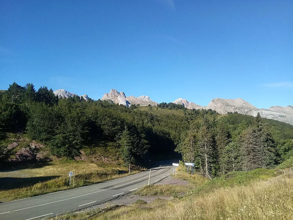
Spain
Somport
1632 m
UnconfirmedSomport links the Aspe valley in France and the Aragón valley in Spain.
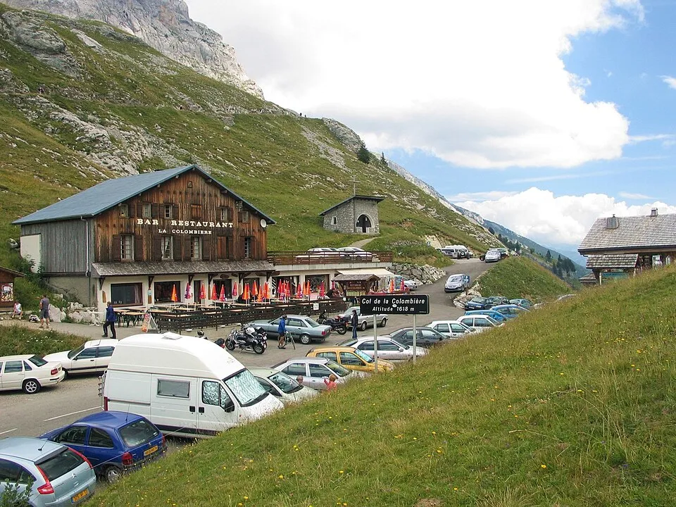
France
Col de la Colombière
1613 m
UnconfirmedCol de la Colombière links Le Grand-Bornand and the valley toward Cluses.
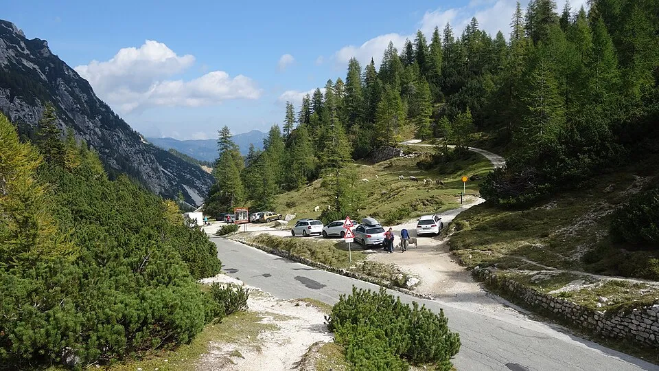
Slovenia
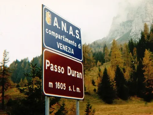
Vršič Pass
1611 m
UnconfirmedVršič Pass links Kranjska Gora and the Trenta valley in the Julian Alps.
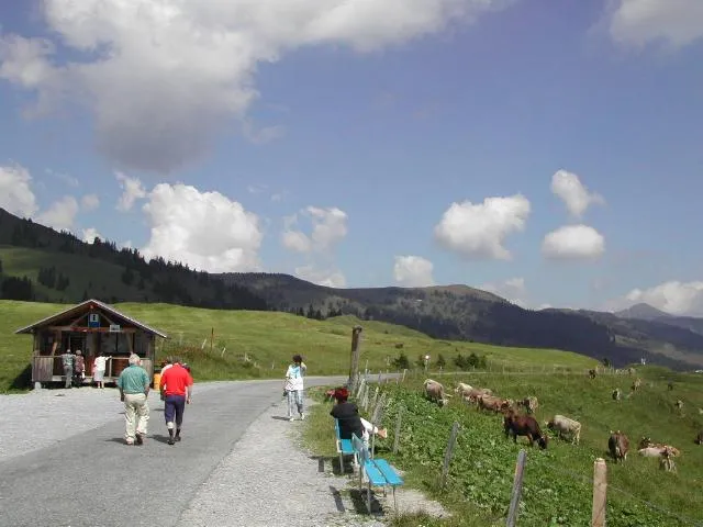
Switzerland
Glaubenbielen Pass
1611 m
UnconfirmedGlaubenbielen Pass is a road crossing in Switzerland. Nearby places include Brienz, Meiringen.
France
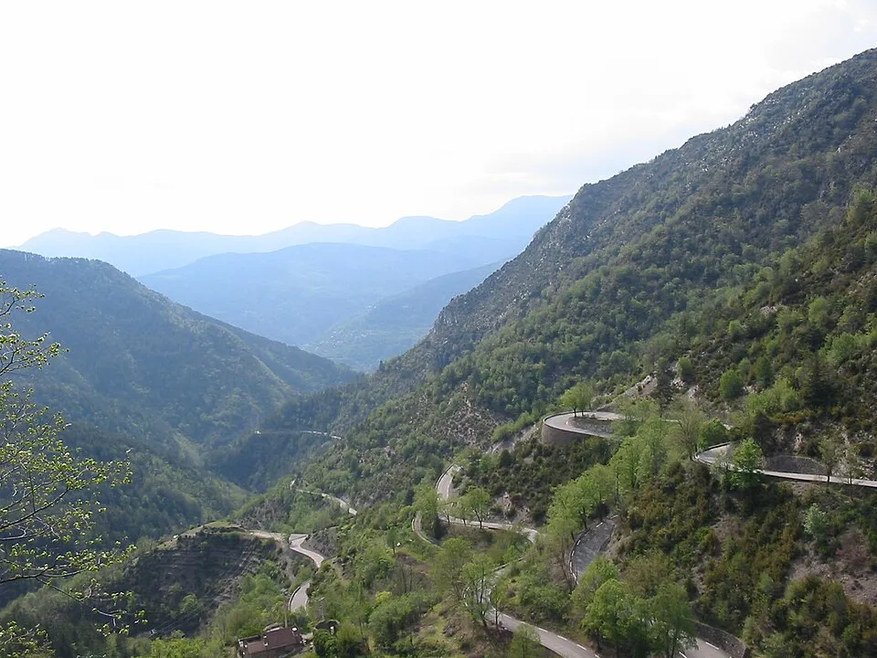
Col de Turini
1604 m
UnconfirmedCol de Turini links the Vésubie and Bévéra valleys in the Maritime Alps.
France
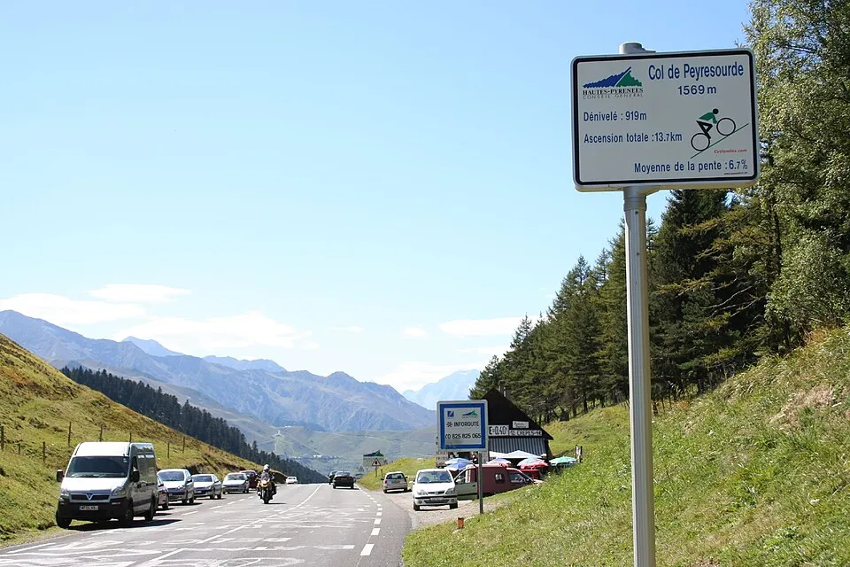
Col de Peyresourde
1569 m
UnconfirmedCol de Peyresourde links the Luchon side and the Louron valley.
France
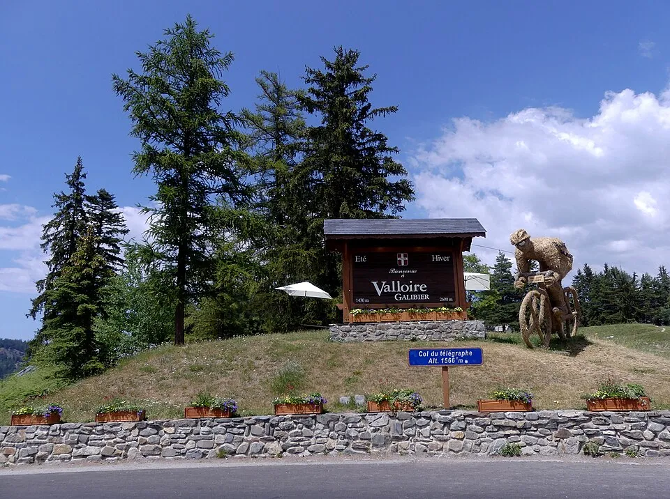
Col du Télégraphe
1566 m
UnconfirmedCol du Télégraphe links Saint-Michel-de-Maurienne and Valloire on the approach to Galibier.
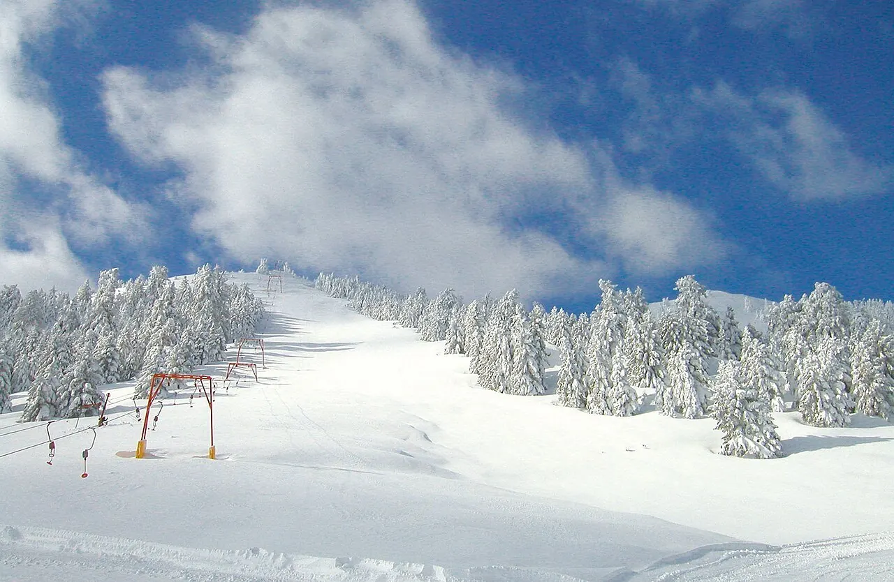
Greece
Mainalo road crossing
Road reference point: ≈ 1550 m
UnconfirmedThe Mainalo road crossing links Kardaras with Vytina through the Ostrakina mountain area near the ski centre. This route through Arcadia combines fir forests, upland clearings and mountain villages of the Peloponnese.
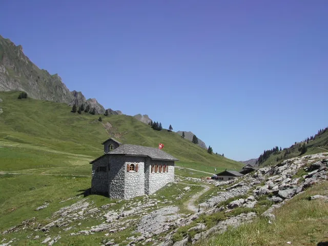
Switzerland
Pragel Pass
1548 m
UnconfirmedPragel Pass is a road crossing in Switzerland. Nearby places include Illgau, Breil.
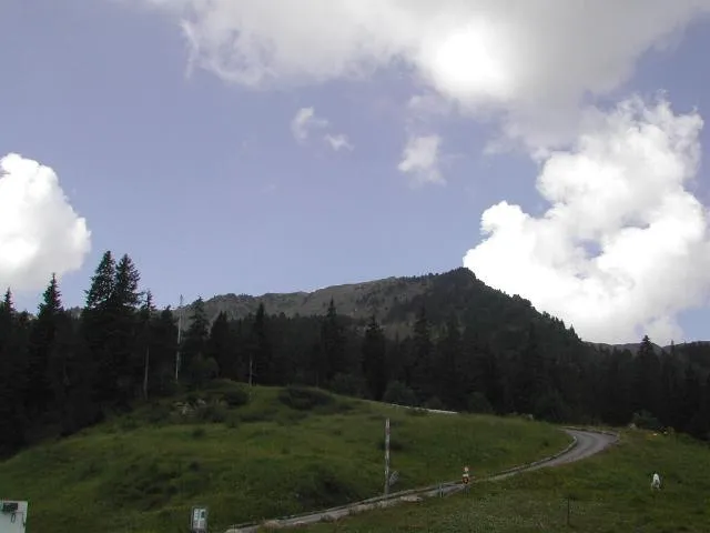
Switzerland
Glaubenberg Pass
1540 m
UnconfirmedGlaubenberg Pass is a road crossing in Switzerland. Nearby places include Brienz, Meiringen.
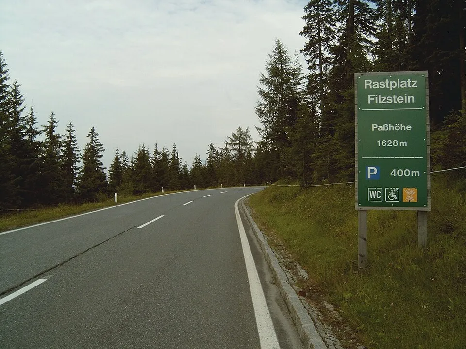
Austria
Gerlos Pass
1531 m
UnconfirmedGerlos Pass links the Zillertal and the Pinzgau area near Krimml.
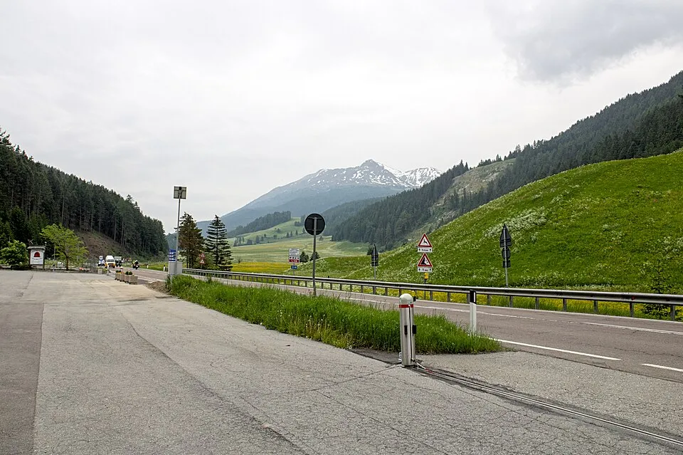
Italy
Reschen Pass
1507 m
UnconfirmedReschen Pass links the upper Inn valley and Vinschgau/Val Venosta near Lake Reschen.
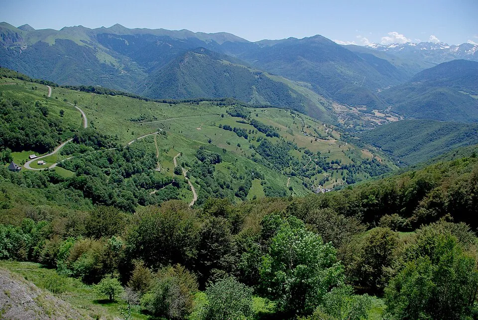
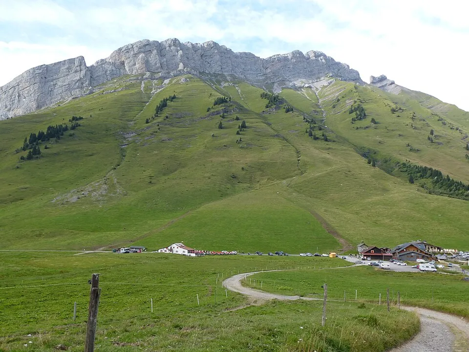
France
Col des Aravis
1487 m
UnconfirmedCol des Aravis links La Clusaz and La Giettaz across the Aravis range.
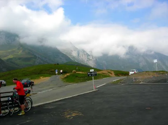
France
Col du Soulor
1474 m
UnconfirmedCol du Soulor links the Argelès-Gazost side and the mountain road toward Aubisque.
France
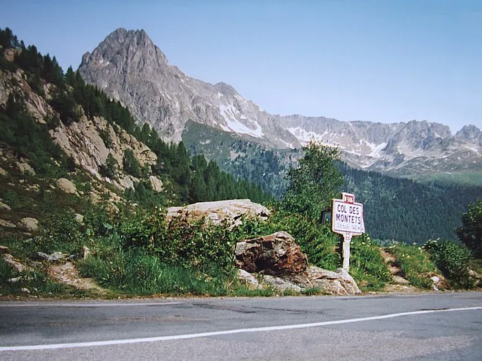
Col des Montets
1461 m
UnconfirmedCol des Montets links the Chamonix valley and Vallorcine toward Switzerland.
Switzerland
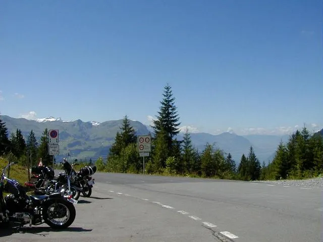
Ibergeregg Pass
1406 m
UnconfirmedIbergeregg Pass is a road crossing in Switzerland. Nearby places include Illgau, Luzern.
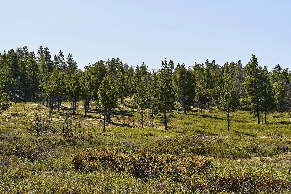
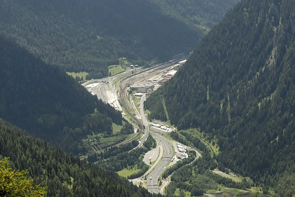
Austria
Brenner Pass
1370 m
UnconfirmedBrenner Pass links Tyrol and South Tyrol along a major north–south Alpine corridor.
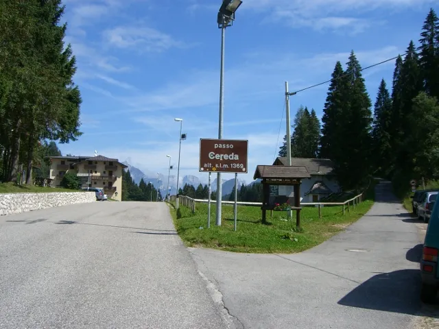
Italy
Cereda Pass
1369 m
UnconfirmedCereda Pass links Primiero and the Mis valley across a quieter Dolomite saddle.
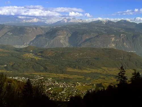
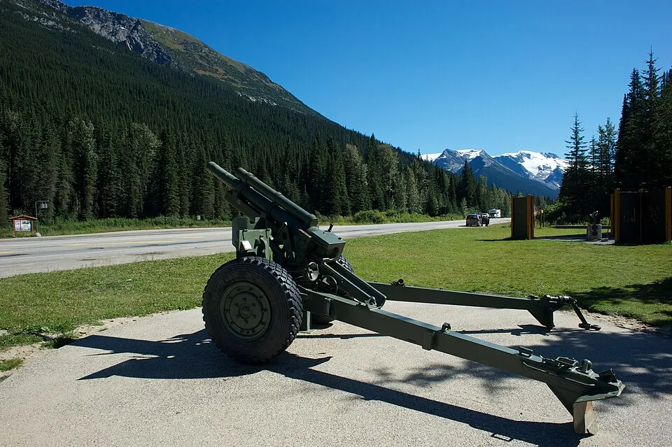
Canada
Rogers Pass
1336 m
UnconfirmedThe Trans-Canada Highway crosses the Selkirk Mountains in Glacier National Park. Winter traffic depends on avalanche-control work as well as snow clearance.
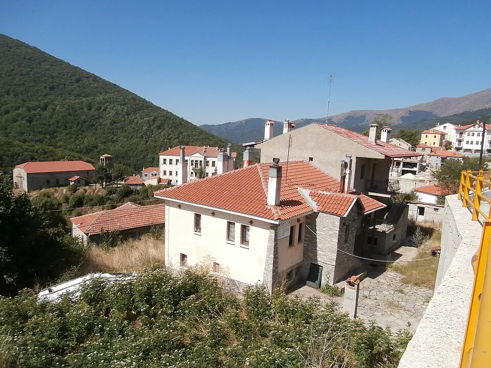
Greece
Vigla-Pisoderi crossing
1330 m
UnconfirmedA road crossing in the mountains of Florina, close to Pisoderi village and the Vigla ski area.
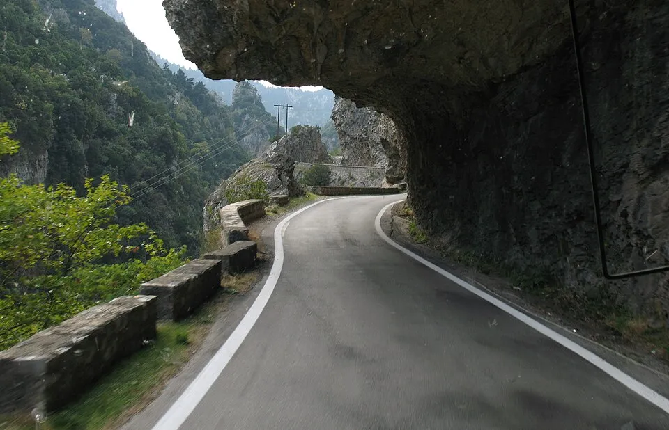
Greece
Langada
1310 m
UnconfirmedThe mountain road between Kalamata and Sparta, crossing the Taygetos landscape above the Langada gorge.
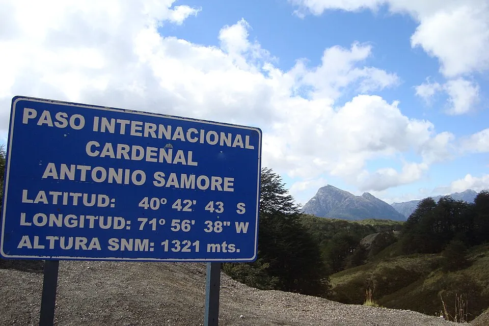
Argentina
Paso Cardenal Antonio Samoré
1305 m
UnconfirmedA forested Andes border crossing between the Villa La Angostura side and southern Chile's lake district.
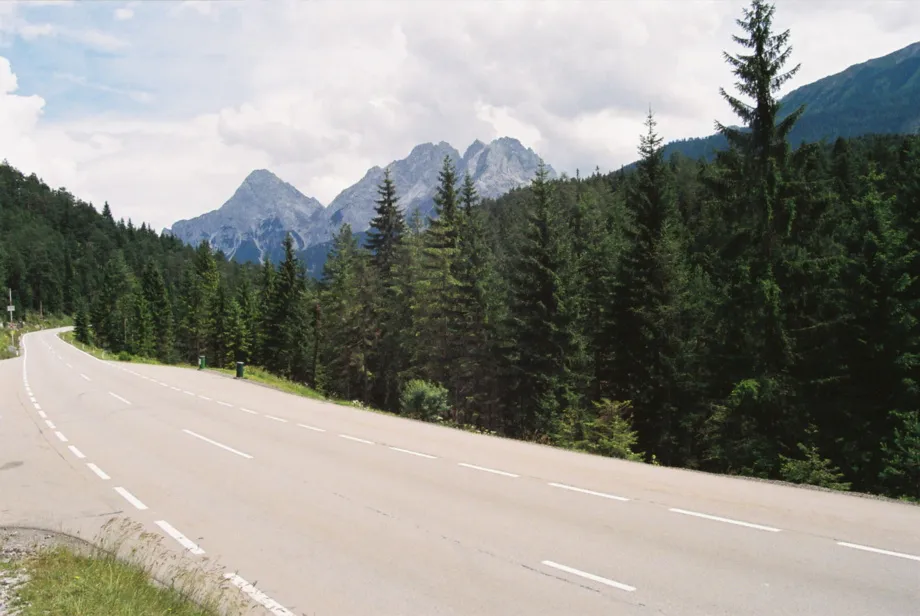
Austria
Fern Pass
1216 m
UnconfirmedFern Pass links the Reutte side of Tyrol and the route toward Imst.
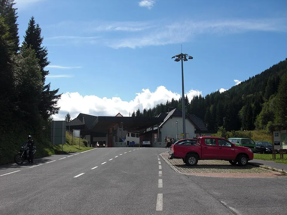
Austria
Seebergsattel
1215 m
UnconfirmedSeebergsattel links Jezersko in Slovenia and the Austrian side of the Karawanks.
Greece
Klisoura Pass
1200 m
UnconfirmedA wooded road crossing by Klisoura in the mountains between the Kastoria and Ptolemaida sides.
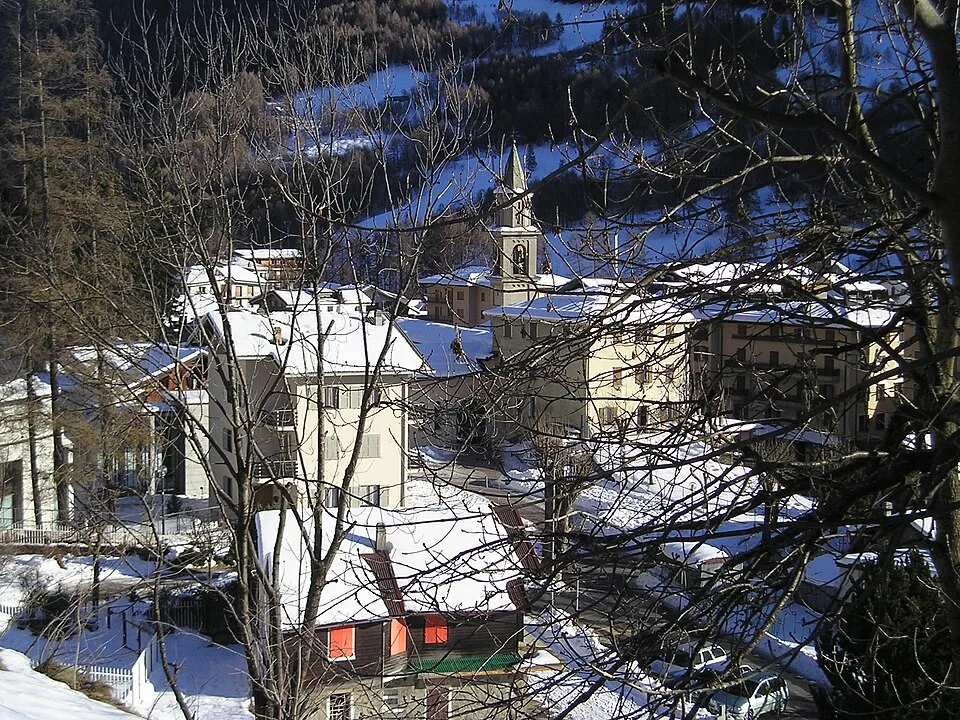
Italy
Passo d'Aprica
1172 m
UnconfirmedPasso d'Aprica links Valtellina and Val Camonica through the ski town of Aprica.
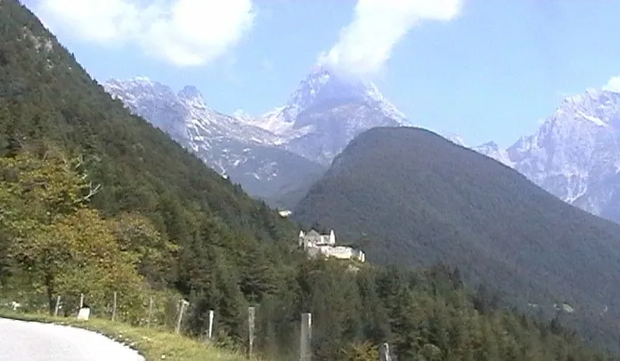
Slovenia
Predil Pass
1156 m
UnconfirmedPredil Pass links the Tarvisio area in Italy and the Bovec side in Slovenia.
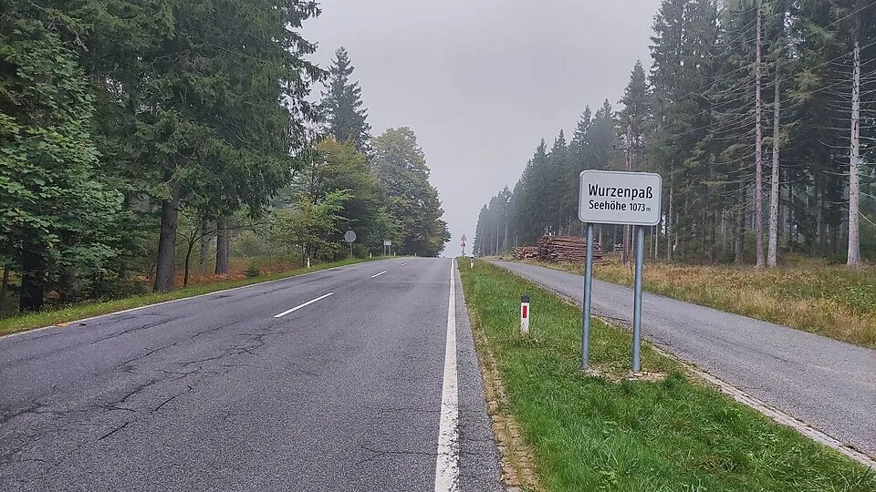
Austria
Wurzen Pass
1071 m
UnconfirmedWurzen Pass links the Villach area and Kranjska Gora across the Austria–Slovenia border.
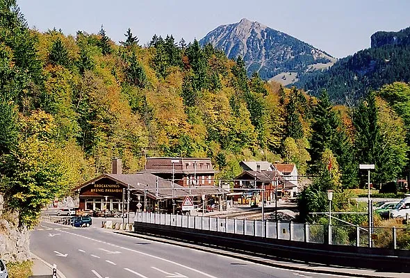
Switzerland
Brünig Pass
1005 m
UnconfirmedBrünig Pass is a road crossing in Switzerland. Nearby places include Meiringen, Brienz.
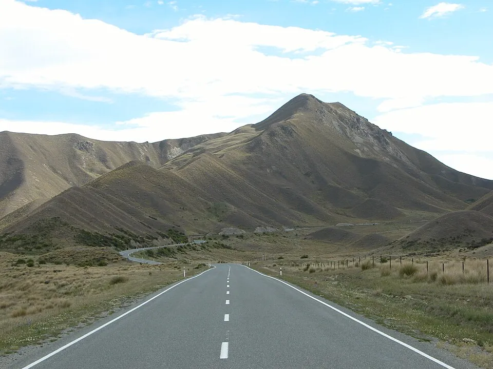
New Zealand
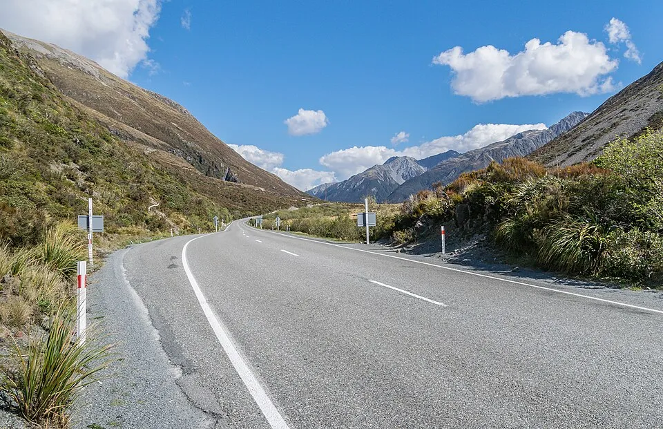
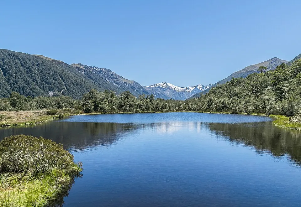
Ōmakō / Lindis Pass
971 m
UnconfirmedŌmakō / Lindis Pass is a road crossing in New Zealand.
Greece
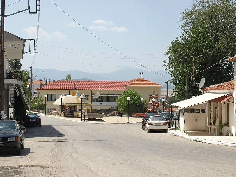
Klidi Pass (Kili Derven)
800 m
UnconfirmedA road crossing near Vevi, on the approach to the Florina basin.
Greece
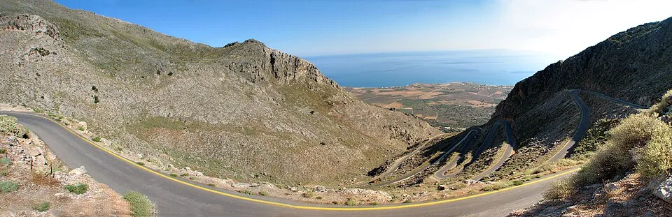
Kalikratis Pass
734 m
UnconfirmedA Cretan mountain road above the south coast, linking the Kallikratis plateau with the Kapsodasos side.
Argentina
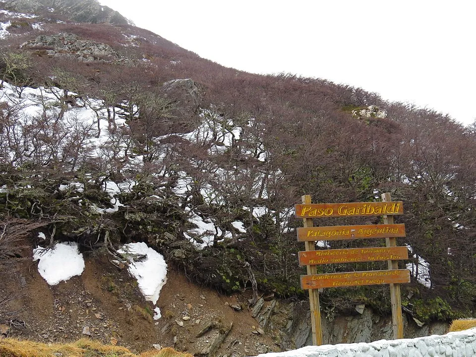
Paso Garibaldi
450 m
UnconfirmedNational Route 3 crosses the Fuegian Andes north of Ushuaia, with views toward Lakes Escondido and Fagnano.
A selected guide to road crossings, not an exhaustive inventory of every mountain saddle. Restricted routes are labelled separately. Photos are archive images. Status is based on the named source and can change after a check.
© OpenStreetMap contributors · ODbL · Geographic catalogue / Γεωγραφικός κατάλογος
Mountain road passes by country and mountain range
A mountain pass can connect two valleys, follow an old trading route or provide access to villages and ski resorts. This guide brings together selected road passes and mountain road crossings, from the Alps of France, Switzerland, Italy, Austria and Slovenia to the Pyrenees, Greece’s Pindus mountains and the Andes. Each region has its own terrain, seasonal access and road network. Elevation is a useful starting point, but it is only one part of understanding a route.
French Alps: Savoie, Galibier and Iseran
In France, Col de l'Iseran, Col du Galibier, Col d'Izoard and Col de la Bonette introduce different parts of the French Alps. Savoie, the Tarentaise and Maurienne valleys, and the southern Alps combine high crossings with mountain villages and ski destinations. The Route des Grandes Alpes provides a geographical thread from Lake Geneva towards the Mediterranean. When linking several passes, check each road section separately: reaching one valley does not confirm that the onward crossing is open.
Swiss Alps: Furka, Grimsel, Susten and Bernina
In Switzerland, Furka Pass, Grimsel Pass and Susten Pass are associated with routes around Andermatt, Gletsch and Meiringen. Further east, Bernina Pass and Julier Pass take the exploration into Graubünden and the Engadin. The Furka–Grimsel–Susten circuit illustrates how neighbouring valleys can be combined in one itinerary. Check whether an access bulletin refers to the road over the pass or a tunnel that bypasses it.
Italian Alps and Dolomites: Stelvio, Gavia, Sella and Pordoi
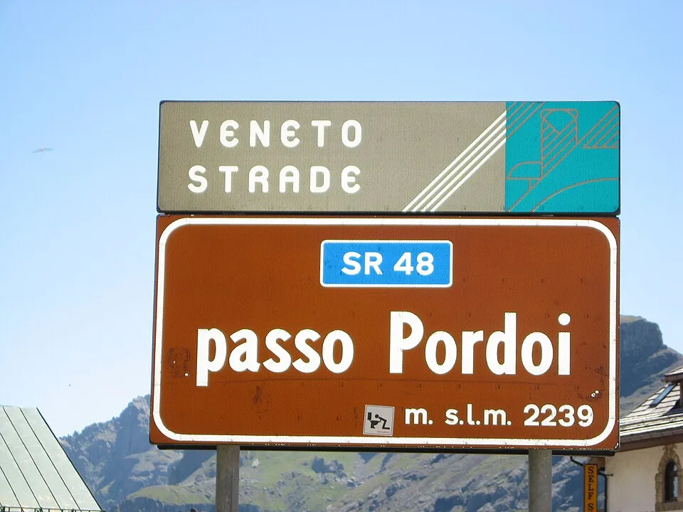
In Italy, Stelvio Pass and Gavia Pass are starting points for exploring high Alpine roads. In the Dolomites, Sella Pass, Pordoi Pass, Gardena Pass and Giau Pass bring South Tyrol, Trentino and Veneto into focus. Val Gardena, Val di Fassa, Alta Badia and Cortina d’Ampezzo help place the crossings in their wider setting and identify possible bases. A nearby ski resort does not mean that every surrounding road follows the same winter opening pattern.
Austria and Slovenia: Hohe Tauern, Tyrol and Julian Alps
In Austria, the Grossglockner High Alpine Road crosses Hochtor in the Hohe Tauern, while Arlberg Pass and Bielerhöhe Pass lead the exploration towards the west of the country. The cross-border Timmelsjoch / Passo del Rombo links the Austrian and Italian sides of the Alps. In Slovenia, Vršič Pass in the Julian Alps and Predil Pass are useful reference points for the wider area around Kranjska Gora, Trenta and Bovec. Scenic mountain roads may also have opening hours, tolls or specific vehicle restrictions to check.
Pyrenees: France, Spain and Andorra
The Pyrenees extend between France and Spain, with Andorra in the heart of the range. Col du Tourmalet, Col d'Aubisque and Col de Peyresourde feature on the French side. Somport is in the French–Spanish border area, while Port de la Bonaigua is in the Spanish Pyrenees and Port d'Envalira in Andorra. These roads also attract cyclists, but access depends on the particular route, season and current restrictions.
Greek mountain passes: Pindus, Parnassos, Helmos and Taygetos
In Greece, the Pindus range connects mountain road travel with Epirus, Thessaly and Western Macedonia. Katara Pass, Baros Pass and Skafida Pass introduce different routes around Metsovo, Anilio and Aspropotamos. Skafida concerns the connection from Chaliki towards Anilio and Metsovo. On Mount Helmos, Peristera Pass is associated with the road from the Kalavryta ski area side towards Peristera and Zarouchla.
The Parnassos road crossing guide covers approaches from Arachova, Livadi and Eptalofos — also known as Agoriani or Ano Agoriani — and connections towards Kelaria, Fterolaka, Amfikleia and Polydrosos. It describes a road network with a mapped reference point, rather than a single mountain saddle. In Arcadia, the Mainalo road crossing links Kardaras and Vytina via Ostrakina. In Evrytania, the Velouchi road crossing follows the connection from Karpenisi through the ski area towards Agia Triada on Tymfristos. Elsewhere, Langada is in the Peloponnese, Vigla-Pisoderi crossing and Klisoura Pass are in Western Macedonia, and Kalikratis Pass leads to the eastern side of Crete’s White Mountains. Local road announcements are especially useful where no recent automatic status is available.
Elsewhere in Europe: Carpathians and Scandinavian mountains
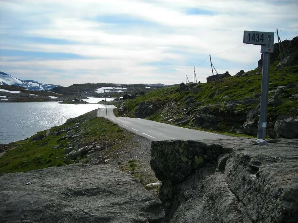
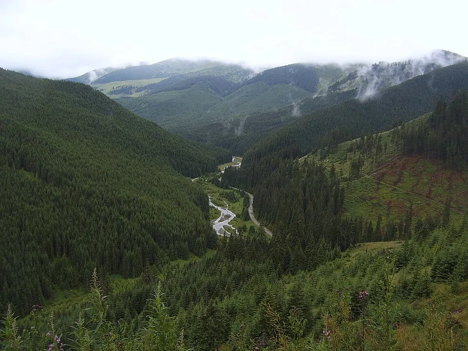
Beyond the Alps and Greece’s Balkan mountains, the directory includes Romania and Norway. In the Romanian Carpathians, Pasul Urdele on the Transalpina road and Prislop Pass provide two different starting points. In Norway, Fantesteinen and Valdresflye introduce mountain landscapes around Jotunheimen. Northern latitude can make snow cover significant even at elevations lower than those of many Alpine passes.
Beyond Europe: Rockies, Sierra Nevada, Andes and Asia
In the United States, Independence Pass and Loveland Pass are in Colorado’s Rocky Mountains, while Tioga Pass in California’s Sierra Nevada provides access to Yosemite. In Canada, Rogers Pass is in British Columbia’s Selkirk Mountains. In South America, Agua Negra Pass and San Francisco Pass concern Andean crossings between Argentina and Chile, while Paso Garibaldi is in Tierra del Fuego.
In India, Rohtang Pass and Kunzum La lead into the Himalayas, while Khardung La is in the Ladakh Range. In New Zealand, Arthur's Pass and Haast Pass cross the Southern Alps of the South Island. For remote or international routes, road status is only part of the preparation: border operation, any permits and available services also matter.
Using the map and road access information
Start with a country or region, then compare the results on the map. The default order shows the highest elevations first; you can reverse it or choose alphabetical order. Use the mouse wheel to zoom in and out. Open an individual pass page for its elevation, seasonal access, forecast, local history and nearby villages or ski resorts, where information is available.
“Open”, “Closed” and “Restrictions” reflect the available road information sources. A grey “No recent confirmation” label means that there is no valid recent status; it does not establish that the road is either open or closed. On the pass page, check the source, the time it was checked and the road section covered by the announcement. These updates are not continuous on-site monitoring of every road.
Typical opening periods describe seasonal patterns, not guaranteed dates. Snow, ice, wind, landslides or roadworks can change access. Compare conditions at road elevation with the forecast for your overnight stop and keep an alternative route available. For skiing, continue to the Snow Atlas ski resort map: lift operation and the ability to drive across a mountain are separate pieces of information.
Frequently asked questions about mountain road passes
Does the directory include every pass in Europe?
This is a selected guide focused on the Alps, Europe and Greece, with notable routes from other continents. It is not a complete inventory of every mountain saddle or forest road.
Are the passes for driving, cycling or hiking?
The main category covers road passes. Restricted vehicle access and roads without a through connection are identified separately. A mapped road does not establish suitability for every vehicle; check its surface and restrictions on the individual page.
Does an open ski resort mean I can drive across the mountain?
Not necessarily. The approach from one side may be open as far as the ski area while the onward road to the next valley remains closed. This distinction matters for routes such as those on Parnassos and Helmos.
Does elevation indicate how difficult a route is?
Elevation helps comparison, but it does not describe gradients, road width, bends or surface. An approximate elevation for a road reference point should not be read as the maximum elevation of the entire route.