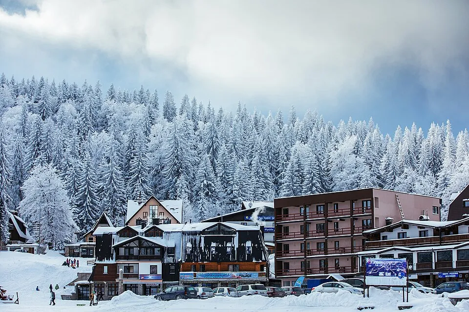
Jahorina · Archive photograph · Micki · CC BY-SA 4.0 · Wikimedia CommonsThe photograph does not show today’s road or snow conditions.
Jahorina is part of the mountain setting of Sarajevo’s 1984 Winter Olympics. A stay on the mountain centres on skiing; Sarajevo makes a separate stop before or after the resort visit.
Check today’s lift and piste report and the access road before travelling. A summer cable-car service is not a ski-opening report.
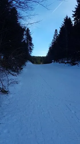
Bjelašnica – Igman · Archive photograph · Sofatt1 · CC BY-SA 4.0 · Wikimedia CommonsThe photograph does not show today’s road or snow conditions.
Bjelašnica rises southwest of Sarajevo, with Babin Do as its main access base. Nearby Igman has separate facilities, so check which sector an operating report describes before planning the day.
Check today’s lift and piste report and the access road before travelling. A summer cable-car service is not a ski-opening report.
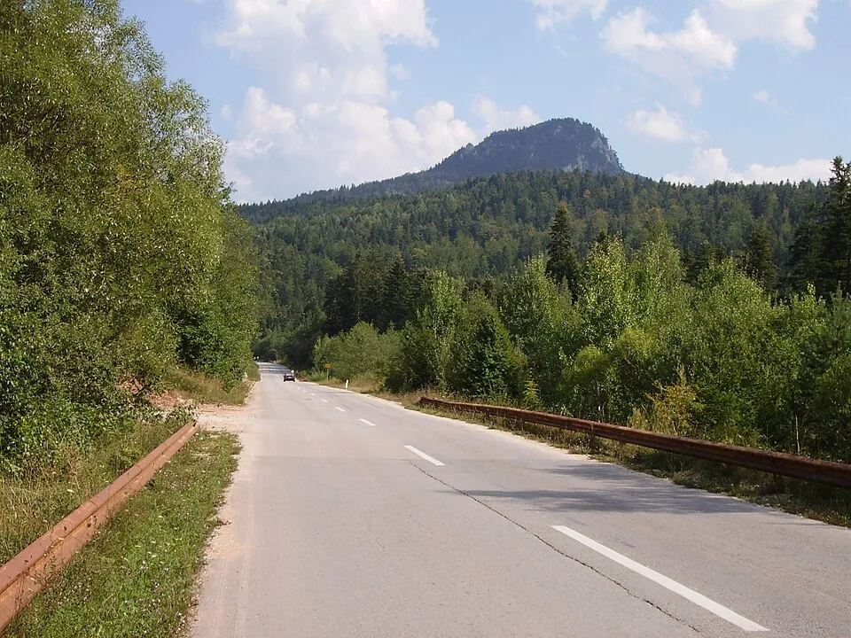
The Pale area near Ravna Planina, not the ski slopes · Archive photograph · Julian Nyča · CC BY-SA 3.0 · Wikimedia CommonsThe photograph does not show today’s road or snow conditions.
Ravna Planina is near Pale, east of Sarajevo. The centre also offers activities outside winter; a gondola operating in summer does not mean ski pistes are open.
Check today’s lift and piste report and the access road before travelling. A summer cable-car service is not a ski-opening report.
Jahorina is part of the mountain setting of Sarajevo’s 1984 Winter Olympics. A stay on the mountain centres on skiing; Sarajevo makes a separate stop before or after the resort visit.
Bjelašnica rises southwest of Sarajevo, with Babin Do as its main access base. Nearby Igman has separate facilities, so check which sector an operating report describes before planning the day.
Ravna Planina is near Pale, east of Sarajevo. The centre also offers activities outside winter; a gondola operating in summer does not mean ski pistes are open.
Babanovac is the ski base on Vlašić, in the mountains above Travnik. The approach road is part of the mountain outing and deserves a separate conditions check during snowfall.
Before your trip
Check the local forecast and the resort’s official updates for lift operation, access and snow conditions. Forecast snow does not confirm that pistes are open.
Published ticket prices for 4 ski resorts, including adult day rates for 3. Compare ski pass prices and piste kilometres in the table. Each resort page includes available child tickets, multi-day passes, season passes and low/high-season rates.
4 destinations
Local pistes, linked areas and regional ski passes in separate columns. Select a column heading to sort numerically. Unknown values appear last.
Ski pass price comparison: adult one-day passes in the same currency and stated season. Undated prices have a separate option. Check low/high season, weekdays/weekends, pass coverage and taxes. No currency conversion. Prices come from operators and named third-party sources.
Published ski-area sizes and ski pass prices · sources on each resort page
Destination
JahorinaSarajevo mountains · Bosnia and Herzegovina
—Length not verified
—
—
86 BAMSeason not stated · JahorinaSource: Skiresort.com
32 BAMSeason not stated · VlašićSource: Skiresort.com
— = not yet verified. ≈ = approximate, as stated by the source. A + preserves the operator’s “over” figure. The same network can appear for several destinations; rows must not be added together. Totals including ski routes are labelled.
Comparing pistes and connections · Bosnia and Herzegovina
When choosing a ski destination, compare the area you will actually use. Local kilometres describe a particular ski area, linked kilometres cover the wider network, and a regional ski pass covers separate areas under a shared ticket.
Local area
Verified examples in this table include: Ravna Planina (12.5 km).
A verified numerical total is available for 1 of 4 destinations in this table. Missing values are not filled with estimates. Sources and measurement differences are explained on resort pages.
Choose your base using access to the pistes and the forecast at the relevant altitude. A nearby village or mountain pass on the map does not imply a piste link or a road open in winter.
 Jahorina